Jieshou night lights from space
Night Light of Jieshou (Anhui) from space (China) Src. Average luminocity for 10x10km area is 42.6014% and for 50x50km: 6.0621%.
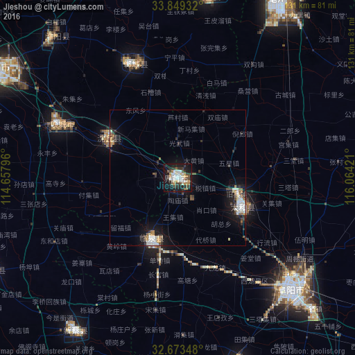
Analysis of Jieshou night lights 2016
Square area 10x10 km:
 8.92%
8.92%90-99
8.74%80-89
5.42%70-79
3.5%60-69
4.72%50-59
3.5%40-49
4.72%30-39
11.01%20-29
8.22%10-19
35.84%0-9
5.42%Square area 50x50 km:
1.08%90-99
1.13%80-89
0.51%70-79
0.54%60-69
0.48%50-59
0.68%40-49
0.63%30-39
1.3%20-29
1.24%10-19
5.23%0-9
87.18%Clear (daylight) street map image can be seen on geolist.org.
Map coordinates:
33° 50' 57.6" North, 114° 39' 28.7" East
33° 15' 48.2" North, 115° 21' 39.9" East
32° 40' 24.5" North, 116° 3' 51.2" East
Some cities around Jieshou sort by population:
• Zhoukou
79.1 km =49.2 mi,  301°
301°
• Bozhou
78.1 km =48.5 mi,  29°
29°
• Fuyang
58.6 km =36.4 mi,  133°
133°
• Huaidian
35.8 km =22.2 mi, 301°
• Jishui
52.4 km =32.6 mi,  3°
3°
• Wacheng
97.3 km =60.5 mi,  306°
306°
• Xincheng
44.3 km =27.5 mi,  338°
338°
• Runing
98.2 km =61 mi,  252°
252°
1805844 (p: 141,993)
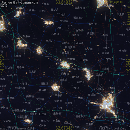
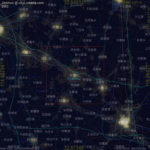
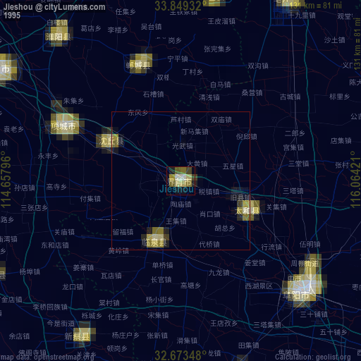
Sources (retrieved 2019-11-25):
» NASA, Earths city lights 1995
» NASA city lights 2003
» Earth at Night: Flat Maps 2012, 2016