Huaidian night lights from space
Night Light of Huaidian (Henan) from space (China) Src. Average luminocity for 10x10km area is 8.6329% and for 50x50km: 3.8979%.
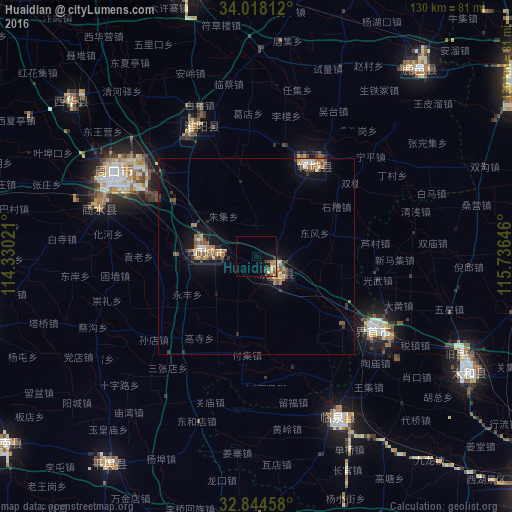
Analysis of Huaidian night lights 2016
Square area 10x10 km:
 0%
0%90-99
0.87%80-89
0.7%70-79
2.45%60-69
1.92%50-59
1.75%40-49
0.7%30-39
1.05%20-29
2.1%10-19
4.72%0-9
83.74%Square area 50x50 km:
0.19%90-99
0.36%80-89
0.45%70-79
0.64%60-69
0.65%50-59
0.84%40-49
0.43%30-39
0.73%20-29
0.66%10-19
2.81%0-9
92.25%Clear (daylight) street map image can be seen on geolist.org.
Map coordinates:
34° 1' 5.2" North, 114° 19' 48.8" East
33° 25' 60" North, 115° 1' 60" East
32° 50' 40.5" North, 115° 44' 11.3" East
Some cities around Huaidian sort by population:
• Luohe
93 km =57.8 mi,  278°
278°
• Zhoukou
43.2 km =26.8 mi,  300°
300°
• Bozhou
84.2 km =52.3 mi,  54°
54°
• Jieshou
35.8 km =22.2 mi,  121°
121°
• Jishui
47.6 km =29.6 mi, 45°
• Wacheng
61.7 km =38.3 mi,  309°
309°
• Xincheng
26.2 km =16.3 mi,  32°
32°
• Runing
79.4 km =49.3 mi,  232°
232°
1807695 (p: 89,978)
Sources (retrieved 2019-11-25):
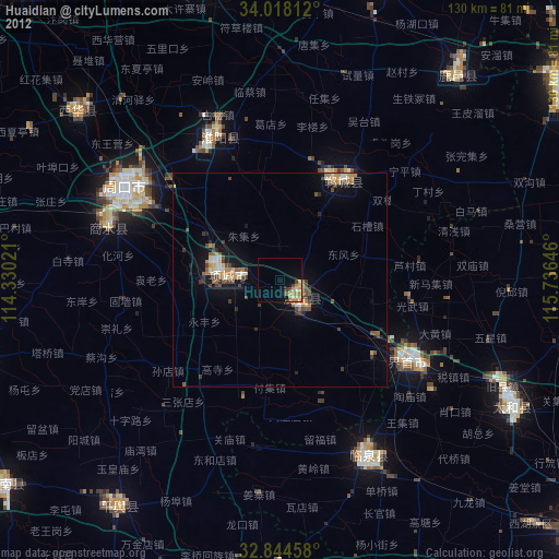
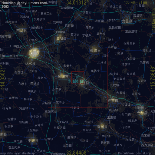
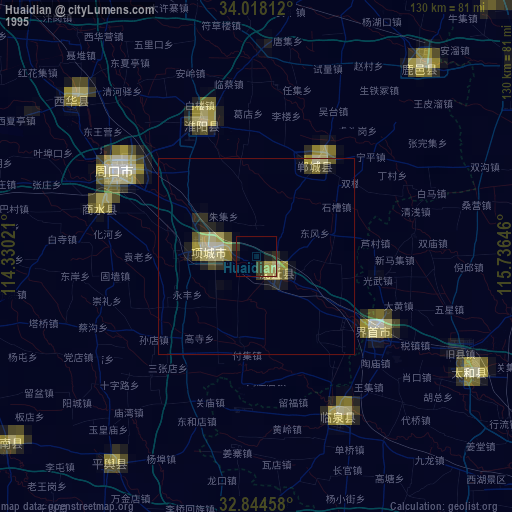
» NASA, Earths city lights 1995
» NASA city lights 2003
» Earth at Night: Flat Maps 2012, 2016