Xincheng night lights from space
Night Light of Xincheng (Henan) from space (China) Src. Average luminocity for 10x10km area is 27.456% and for 50x50km: 2.0475%.
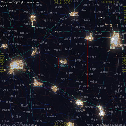
Analysis of Xincheng night lights 2016
Square area 10x10 km:
 2.56%
2.56%90-99
3.85%80-89
2.93%70-79
6.59%60-69
2.75%50-59
4.03%40-49
4.95%30-39
5.68%20-29
3.48%10-19
19.05%0-9
44.14%Square area 50x50 km:
0.11%90-99
0.18%80-89
0.21%70-79
0.39%60-69
0.27%50-59
0.27%40-49
0.29%30-39
0.38%20-29
0.4%10-19
1.68%0-9
95.82%Clear (daylight) street map image can be seen on geolist.org.
Map coordinates:
34° 13' 0.3" North, 114° 28' 48.8" East
33° 37' 60" North, 115° 10' 60" East
33° 2' 45.3" North, 115° 53' 11.3" East
Some cities around Xincheng sort by population:
• Zhoukou
50.9 km =31.6 mi,  270°
270°
• Shangqiu
100.5 km =62.4 mi,  25°
25°
• Bozhou
60.7 km =37.7 mi,  63°
63°
• Fuyang
100.6 km =62.5 mi,  144°
144°
• Jieshou
44.3 km =27.5 mi,  158°
158°
• Huaidian
26.2 km =16.3 mi,  212°
212°
• Jishui
22.9 km =14.2 mi, 60°
• Wacheng
63.9 km =39.7 mi,  285°
285°
1813892 (p: 65,411)
Sources (retrieved 2019-11-25):
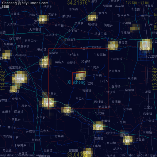
» NASA, Earths city lights 1995
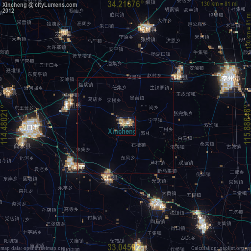
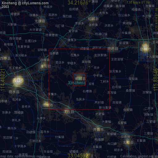
» NASA city lights 2003
» Earth at Night: Flat Maps 2012, 2016