Yangquan night lights from space
Night Light of Yangquan (Shanxi) from space (China) Src. Average luminocity for 10x10km area is 57.2256% and for 50x50km: 7.8279%.
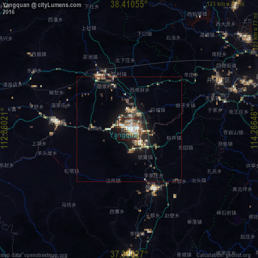

Analysis of Yangquan night lights 2016
Square area 10x10 km:
 8.93%
8.93%90-99
14.61%80-89
7.31%70-79
9.42%60-69
7.79%50-59
9.09%40-49
6.82%30-39
7.95%20-29
14.61%10-19
11.53%0-9
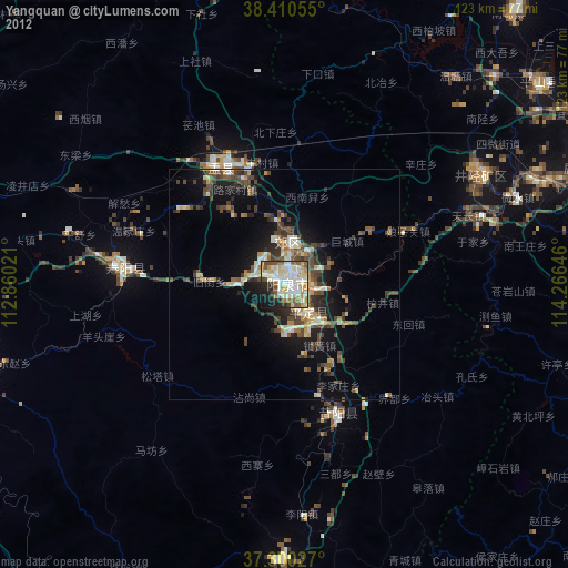
1.95%Square area 50x50 km:
0.44%90-99
1.16%80-89
1.02%70-79
0.88%60-69
1.18%50-59
1.15%40-49
1.31%30-39
1.86%20-29
3.07%10-19
5.09%0-9
82.85%Clear (daylight) street map image can be seen on geolist.org.
Map coordinates:
38° 24' 38" North, 112° 51' 36.8" East
37° 51' 27" North, 113° 33' 48" East
37° 18' 1" North, 114° 15' 59.3" East
Some cities around Yangquan sort by population:
• Taiyuan
88.1 km =54.7 mi,  270°
270°
• Shijiazhuang
82.8 km =51.4 mi,  75°
75°
• Xingtai
120.6 km =74.9 mi,  137°
137°
• Luancheng
95.6 km =59.4 mi,  88°
88°
• Yuci
75.7 km =47 mi,  254°
254°
• Xinzhou
95 km =59 mi,  310°
310°
• Yuanping
118.5 km =73.6 mi,  323°
323°
• Tianchang
42.6 km =26.5 mi,  68°
68°
1787351 (p: 413,394)
Sources (retrieved 2019-11-25):
» NASA, Earths city lights 1995
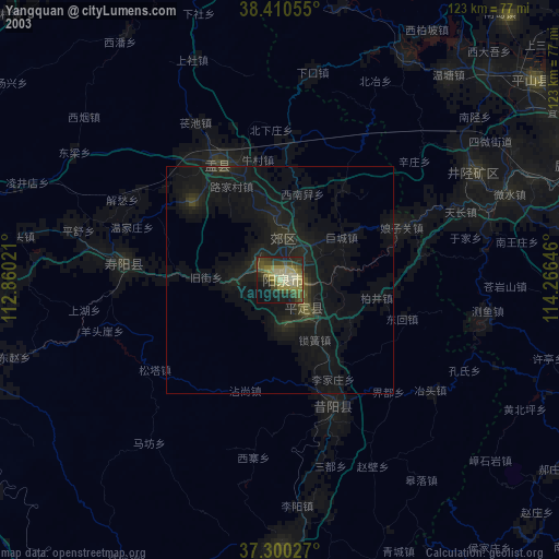
» NASA city lights 2003
» Earth at Night: Flat Maps 2012, 2016