Xingtai night lights from space
Night Light of Xingtai (Hebei) from space (China) Src. Average luminocity for 10x10km area is 84.9694% and for 50x50km: 15.7279%.
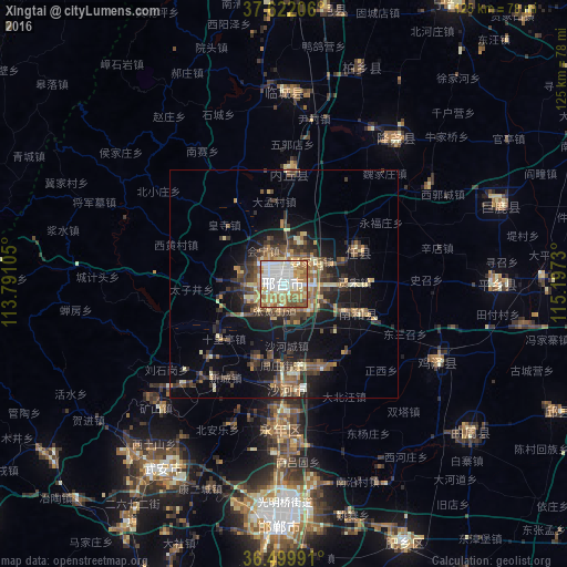
Analysis of Xingtai night lights 2016
Square area 10x10 km:
 25.34%
90-99
27.38%80-89
12.59%70-79
11.73%60-69
14.63%50-59
5.95%40-49
2.38%30-39
0%20-29
0%10-19
0%0-9
0%Square area 50x50 km:
1.1%90-99
2.2%80-89
2.23%70-79
1.89%60-69
2.41%50-59
2.97%40-49
2.67%30-39
4.08%20-29
3.71%10-19
10.29%0-9
66.46%Clear (daylight) street map image can be seen on geolist.org.
Map coordinates:
37° 37' 19.4" North, 113° 47' 27.8" East
37° 3' 47" North, 114° 29' 39" East
36° 29' 59.7" North, 115° 11' 50.3" East
Some cities around Xingtai sort by population:
• Handan
51.5 km =32 mi,  182°
182°
• Anyang
108 km =67.1 mi,  185°
185°
• Luancheng
91.8 km =57 mi,  8°
8°
• Shahecheng
13.9 km =8.6 mi, 175°
• Linshui
75.5 km =46.9 mi,  199°
199°
• Hecun
68.1 km =42.3 mi,  210°
210°
• Nangong
84.6 km =52.6 mi,  67°
67°
• Pengcheng
76 km =47.2 mi, 202°
1788927 (p: 611,739)
Sources (retrieved 2019-11-25):
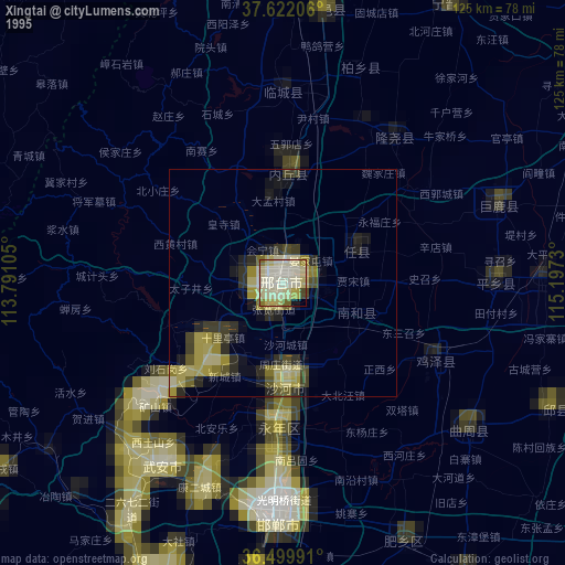
» NASA, Earths city lights 1995
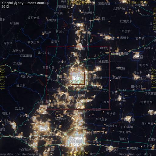
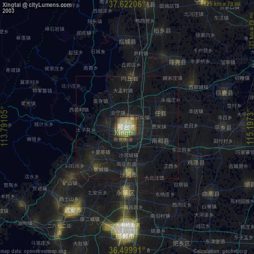
» NASA city lights 2003
» Earth at Night: Flat Maps 2012, 2016