Xinyu night lights from space
Night Light of Xinyu (Jiangxi) from space (China) Src. Average luminocity for 10x10km area is 59.0337% and for 50x50km: 4.3433%.
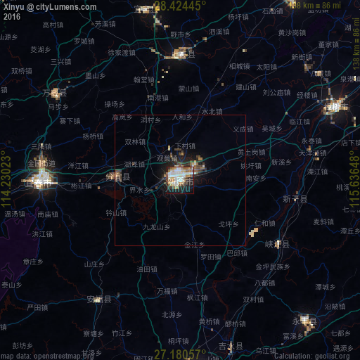
Analysis of Xinyu night lights 2016
Square area 10x10 km:
 15.08%
90-99
16.27%80-89
4.76%70-79
7.34%60-69
7.74%50-59
9.33%40-49
3.17%30-39
5.36%20-29
10.12%10-19
18.45%0-9
2.38%Square area 50x50 km:
0.65%90-99
0.68%80-89
0.35%70-79
0.41%60-69
0.43%50-59
0.74%40-49
0.7%30-39
0.86%20-29
1.4%10-19
3.22%0-9
90.57%Clear (daylight) street map image can be seen on geolist.org.
Map coordinates:
28° 25' 28" North, 114° 13' 48.8" East
27° 48' 15.4" North, 114° 56' 0.1" East
27° 10' 50.1" North, 115° 38' 11.3" East
Some cities around Xinyu sort by population:
• Nanchang
133 km =82.6 mi,  42°
42°
• Guankou
134.2 km =83.4 mi,  287°
287°
• Pingxiang
108.3 km =67.3 mi,  258°
258°
• Ji’an
76.5 km =47.5 mi,  176°
176°
• Yichun
52.5 km =32.6 mi,  273°
273°
• Jianguang
94 km =58.4 mi,  62°
62°
• Fenyi
26.1 km =16.2 mi, 271°
• Changleng
131.9 km =82 mi, 40°
1788508 (p: 97,480)
Sources (retrieved 2019-11-25):
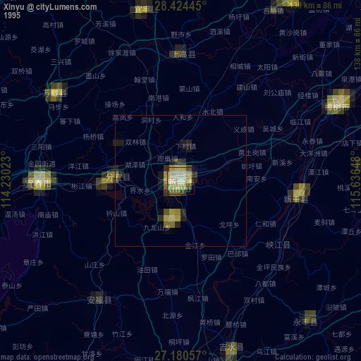
» NASA, Earths city lights 1995
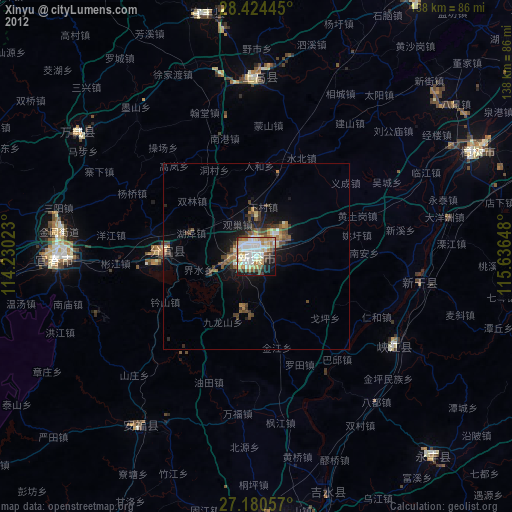
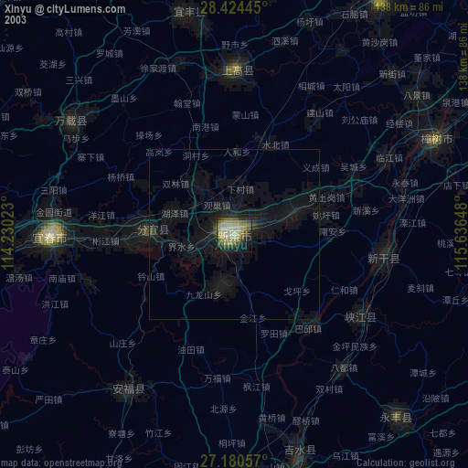
» NASA city lights 2003
» Earth at Night: Flat Maps 2012, 2016