Nanchang night lights from space
Night Light of Nanchang (Jiangxi) from space (China) Src. Average luminocity for 10x10km area is 94.6364% and for 50x50km: 26.3373%.
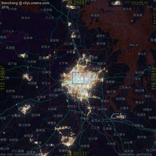
Analysis of Nanchang night lights 2016
Square area 10x10 km:
 42.05%
90-99
37.12%80-89
10.98%70-79
6.06%60-69
3.79%50-59
0%40-49
0%30-39
0%20-29
0%10-19
0%0-9
0%Square area 50x50 km:
5.38%90-99
6.38%80-89
3.28%70-79
3.53%60-69
3.27%50-59
3.2%40-49
3.02%30-39
2.51%20-29
5.35%10-19
8.77%0-9
55.32%Clear (daylight) street map image can be seen on geolist.org.
Map coordinates:
29° 17' 56.3" North, 115° 8' 59.8" East
28° 41' 2.3" North, 115° 51' 11" East
28° 3' 55.1" North, 116° 33' 22.3" East
Some cities around Nanchang sort by population:
• Jingdezhen
148.2 km =92.1 mi,  62°
62°
• Jiujiang
114.4 km =71.1 mi,  7°
7°
• Wuxue
133 km =82.6 mi,  347°
347°
• Xinyu
133 km =82.6 mi,  222°
222°
• Guixi
140 km =87 mi,  108°
108°
• Poyang
86.4 km =53.7 mi,  66°
66°
• Jianguang
54.9 km =34.1 mi,  187°
187°
• Changleng
4 km =2.5 mi,  296°
296°
1800163 (p: 2,357,839)
Sources (retrieved 2019-11-25):
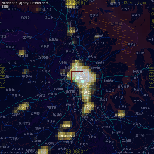
» NASA, Earths city lights 1995
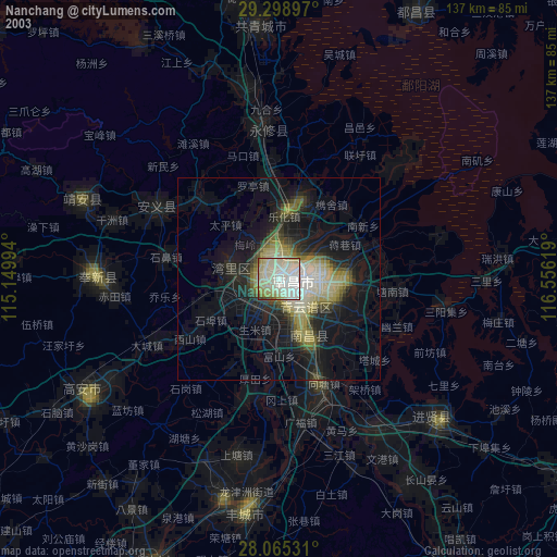
» NASA city lights 2003
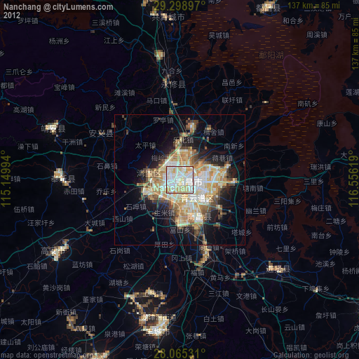
» Earth at Night: Flat Maps 2012, 2016