Fenyi night lights from space
Night Light of Fenyi (Jiangxi) from space (China) Src. Average luminocity for 10x10km area is 10.7044% and for 50x50km: 2.852%.
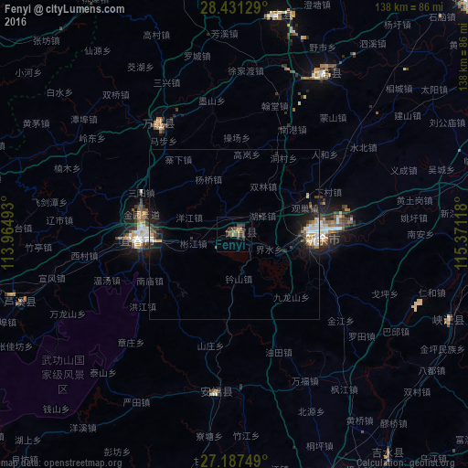


Analysis of Fenyi night lights 2016
Square area 10x10 km:
 0%
0%90-99
0%80-89
0%70-79
0.99%60-69
2.58%50-59
2.58%40-49
5.95%30-39
5.75%20-29
1.98%10-19
0.2%0-9
79.96%Square area 50x50 km:
0.32%90-99
0.41%80-89
0.29%70-79
0.28%60-69
0.25%50-59
0.35%40-49
0.58%30-39
0.63%20-29
0.71%10-19
2.51%0-9
93.68%Clear (daylight) street map image can be seen on geolist.org.
Map coordinates:
28° 25' 52.6" North, 113° 57' 53.7" East
27° 48' 40.2" North, 114° 40' 5" East
27° 11' 15" North, 115° 22' 16.2" East
Some cities around Fenyi sort by population:
• Guankou
109.3 km =67.9 mi,  290°
290°
• Zhuzhou
149.3 km =92.8 mi,  270°
270°
• Pingxiang
83 km =51.6 mi,  254°
254°
• Ji’an
83.1 km =51.6 mi,  158°
158°
• Yichun
26.5 km =16.5 mi,  275°
275°
• Xishan
116.1 km =72.1 mi,  262°
262°
• Xinyu
26.1 km =16.2 mi,  91°
91°
• Jianguang
117.5 km =73 mi,  68°
68°
1811114 (p: 58,478)
Sources (retrieved 2019-11-25):
» NASA, Earths city lights 1995
» NASA city lights 2003
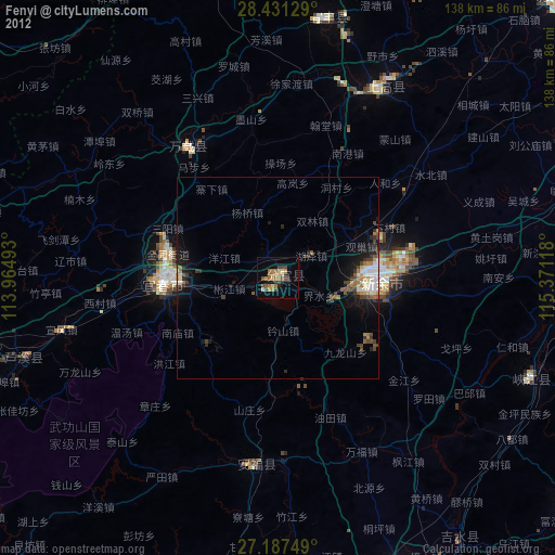
» Earth at Night: Flat Maps 2012, 2016