Changleng night lights from space
Night Light of Changleng (Jiangxi) from space (China) Src. Average luminocity for 10x10km area is 88.0076% and for 50x50km: 26.1154%.
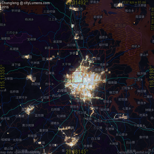
Analysis of Changleng night lights 2016
Square area 10x10 km:
 29.92%
90-99
34.85%80-89
10.04%70-79
12.31%60-69
4.92%50-59
2.65%40-49
2.27%30-39
1.33%20-29
1.7%10-19
0%0-9
0%Square area 50x50 km:
5.38%90-99
6.35%80-89
3.24%70-79
3.48%60-69
3.32%50-59
3.12%40-49
3.02%30-39
2.61%20-29
5.37%10-19
8.56%0-9
55.56%Clear (daylight) street map image can be seen on geolist.org.
Map coordinates:
29° 18' 53.7" North, 115° 6' 48.8" East
28° 42' 0" North, 115° 49' 0" East
28° 4' 53.2" North, 116° 31' 11.3" East
Some cities around Changleng sort by population:
• Nanchang
4 km =2.5 mi,  116°
116°
• Jiujiang
113.2 km =70.3 mi,  9°
9°
• Wuxue
130.5 km =81.1 mi,  348°
348°
• Xinyu
131.9 km =82 mi,  220°
220°
• Guixi
143.9 km =89.4 mi,  108°
108°
• Poyang
89 km =55.3 mi,  68°
68°
• Jianguang
56.4 km =35 mi,  183°
183°
• Fenyi
149.7 km =93 mi,  228°
228°
1815667 (p: 56,429)
Sources (retrieved 2019-11-25):
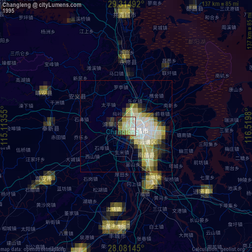
» NASA, Earths city lights 1995
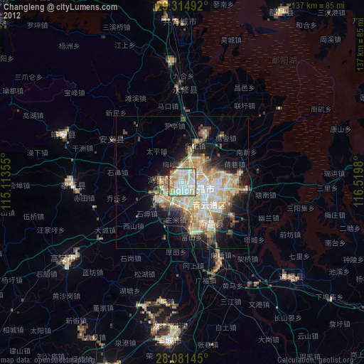
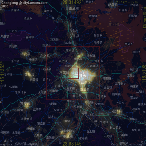
» NASA city lights 2003
» Earth at Night: Flat Maps 2012, 2016