Kaiyuan night lights from space
Night Light of Kaiyuan (Liaoning) from space (China) Src. Average luminocity for 10x10km area is 31.5206% and for 50x50km: 2.6675%.
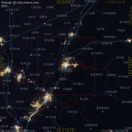
Analysis of Kaiyuan night lights 2016
Square area 10x10 km:
 2.38%
2.38%90-99
5.87%80-89
1.43%70-79
4.92%60-69
6.67%50-59
8.41%40-49
2.86%30-39
4.92%20-29
2.06%10-19
36.83%0-9
23.65%Square area 50x50 km:
0.09%90-99
0.39%80-89
0.23%70-79
0.37%60-69
0.39%50-59
0.58%40-49
0.25%30-39
0.56%20-29
0.35%10-19
2.82%0-9
93.99%Clear (daylight) street map image can be seen on geolist.org.
Map coordinates:
43° 2' 56.5" North, 123° 20' 13.8" East
42° 31' 59" North, 124° 2' 25" East
42° 0' 46" North, 124° 44' 36.3" East
Some cities around Kaiyuan sort by population:
• Fushun
72.3 km =44.9 mi,  186°
186°
• Siping
75.1 km =46.7 mi,  21°
21°
• Tieling
31.3 km =19.4 mi,  211°
211°
• Dongling
88.6 km =55.1 mi, 205°
• Changtu
27.7 km =17.2 mi,  9°
9°
• Hushitai
79.3 km =49.3 mi, 213°
• Lishu
88.9 km =55.2 mi, 15°
• Xifeng
60.2 km =37.4 mi,  67°
67°
2036337 (p: 112,462)
Sources (retrieved 2019-11-25):
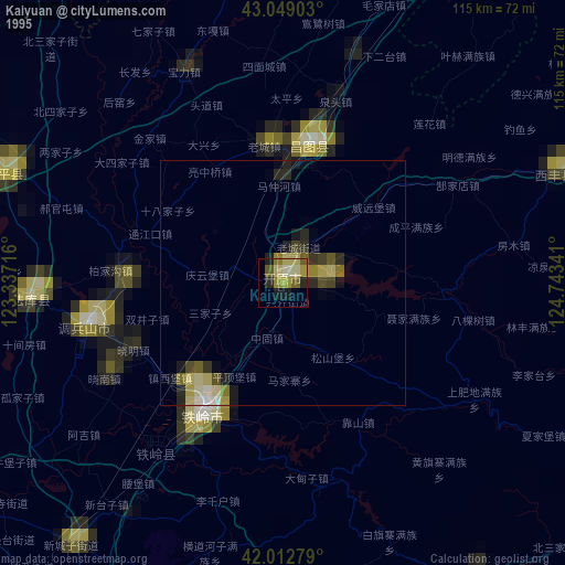
» NASA, Earths city lights 1995
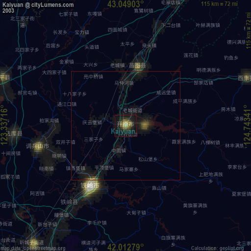
» NASA city lights 2003
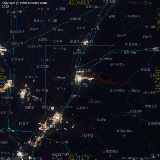
» Earth at Night: Flat Maps 2012, 2016