Changtu night lights from space
Night Light of Changtu (Liaoning) from space (China) Src. Average luminocity for 10x10km area is 8.0106% and for 50x50km: 1.2789%.
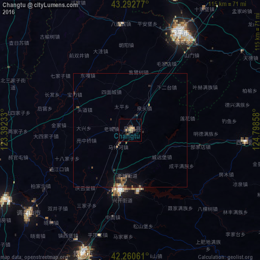
Analysis of Changtu night lights 2016
Square area 10x10 km:
 0%
0%90-99
0%80-89
0%70-79
2.73%60-69
0.91%50-59
2.12%40-49
1.67%30-39
4.39%20-29
1.52%10-19
0%0-9
86.67%Square area 50x50 km:
0.01%90-99
0.06%80-89
0.02%70-79
0.26%60-69
0.16%50-59
0.36%40-49
0.26%30-39
0.49%20-29
0.28%10-19
1.03%0-9
97.08%Clear (daylight) street map image can be seen on geolist.org.
Map coordinates:
43° 17' 34" North, 123° 23' 32.4" East
42° 46' 43.8" North, 124° 5' 43.6" East
42° 15' 38.2" North, 124° 47' 54.9" East
Some cities around Changtu sort by population:
• Siping
48.3 km =30 mi,  28°
28°
• Liaoyuan
85.9 km =53.4 mi,  80°
80°
• Tieling
57.9 km =36 mi,  201°
201°
• Gongzhuling
99.5 km =61.8 mi,  36°
36°
• Kaiyuan
27.7 km =17.2 mi,  189°
189°
• Zhengjiatun
94 km =58.4 mi,  329°
329°
• Lishu
61.4 km =38.2 mi,  17°
17°
• Xifeng
51.4 km =31.9 mi,  95°
95°
2038139 (p: 71,284)
Sources (retrieved 2019-11-25):
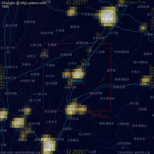
» NASA, Earths city lights 1995
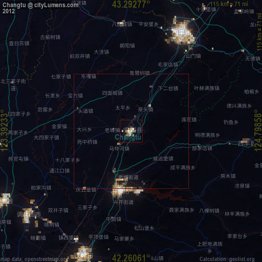
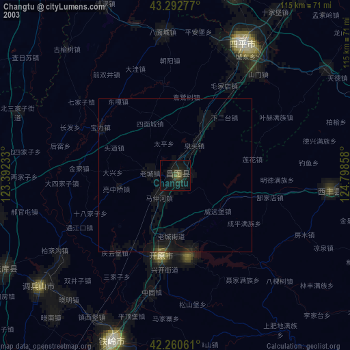
» NASA city lights 2003
» Earth at Night: Flat Maps 2012, 2016