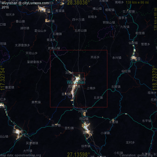
Wuyishan night lights from space
Night Light of Wuyishan (Fujian) from space (China) Src. Average luminocity for 10x10km area is 25.1726% and for 50x50km: 2.5736%.

Analysis of Wuyishan night lights 2016
Square area 10x10 km:
 5.75%
5.75%90-99
3.77%80-89
1.39%70-79
2.58%60-69
4.17%50-59
3.37%40-49
2.58%30-39
1.59%20-29
2.38%10-19
26.19%0-9
46.23%Square area 50x50 km:
0.4%90-99
0.32%80-89
0.29%70-79
0.25%60-69
0.32%50-59
0.29%40-49
0.34%30-39
0.23%20-29
0.28%10-19
2.97%0-9
94.32%Clear (daylight) street map image can be seen on geolist.org.
Map coordinates:
28° 22' 49.3" North, 117° 19' 39.1" East
27° 45' 35.8" North, 118° 1' 50.4" East
27° 8' 9.5" North, 118° 44' 1.6" East
Some cities around Wuyishan sort by population:
• Shangrao
77.4 km =48.1 mi,  353°
353°
• Nanping
124.8 km =77.5 mi,  173°
173°
• Shaowu
71.3 km =44.3 mi,  229°
229°
• Quzhou
156.6 km =97.3 mi,  31°
31°
• Guixi
99.5 km =61.8 mi,  306°
306°
• Pucheng
52.7 km =32.7 mi,  69°
69°
• Jian’ou
84.4 km =52.4 mi,  159°
159°
• Gufeng
133.4 km =82.9 mi,  135°
135°
1922014 (p: 23,041)
Sources (retrieved 2019-11-25):
» Earth at Night: Flat Maps 2012, 2016