Pucheng night lights from space
Night Light of Pucheng (Fujian) from space (China) Src. Average luminocity for 10x10km area is 11.5019% and for 50x50km: 0.6935%.
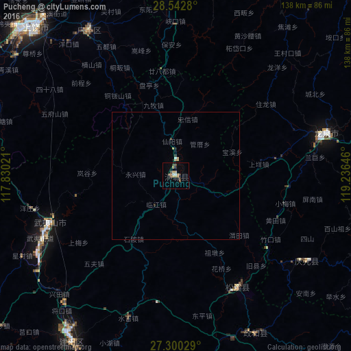
Analysis of Pucheng night lights 2016
Square area 10x10 km:
 0.76%
0.76%90-99
0.76%80-89
2.27%70-79
0%60-69
2.46%50-59
1.52%40-49
4.55%30-39
2.08%20-29
0%10-19
1.33%0-9
84.28%Square area 50x50 km:
0.05%90-99
0.04%80-89
0.18%70-79
0.02%60-69
0.11%50-59
0.06%40-49
0.21%30-39
0.14%20-29
0.03%10-19
0.14%0-9
99.01%Clear (daylight) street map image can be seen on geolist.org.
Map coordinates:
28° 32' 34.1" North, 117° 49' 48.8" East
27° 55' 24" North, 118° 31' 60" East
27° 18' 1" North, 119° 14' 11.3" East
Some cities around Pucheng sort by population:
• Shangrao
82.5 km =51.3 mi,  315°
315°
• Shaowu
122.1 km =75.9 mi,  237°
237°
• Quzhou
119.8 km =74.4 mi,  15°
15°
• Guixi
135.7 km =84.3 mi,  287°
287°
• Fu’an
146 km =90.7 mi,  130°
130°
• Jian’ou
99.6 km =61.9 mi,  191°
191°
• Wuyishan
52.7 km =32.7 mi,  249°
249°
• Gufeng
121.2 km =75.3 mi,  158°
158°
1799832 (p: 59,832)
Sources (retrieved 2019-11-25):
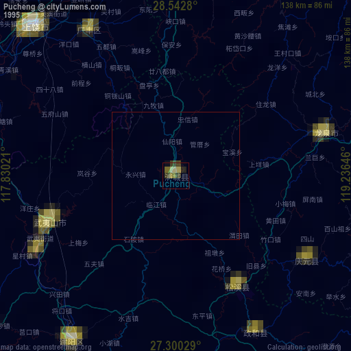
» NASA, Earths city lights 1995
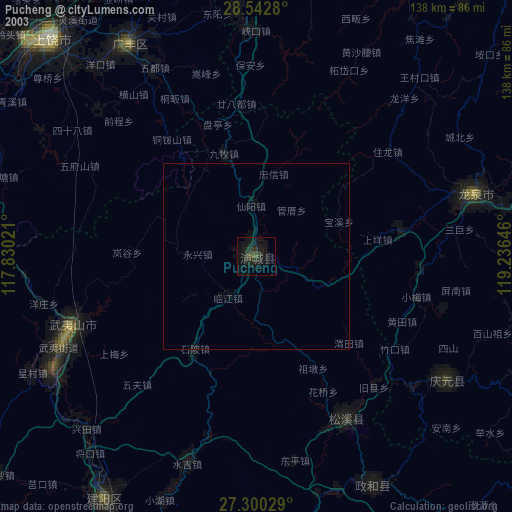
» NASA city lights 2003
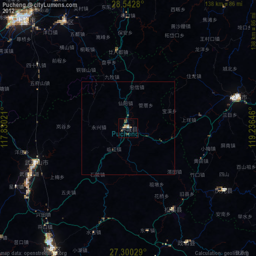
» Earth at Night: Flat Maps 2012, 2016