Jian’ou night lights from space
Night Light of Jian’ou (Fujian) from space (China) Src. Average luminocity for 10x10km area is 19.6905% and for 50x50km: 1.0135%.
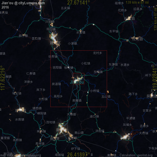
Analysis of Jian’ou night lights 2016
Square area 10x10 km:
 2.18%
2.18%90-99
4.17%80-89
1.59%70-79
1.19%60-69
5.36%50-59
1.79%40-49
2.38%30-39
1.59%20-29
4.76%10-19
7.94%0-9
67.06%Square area 50x50 km:
0.12%90-99
0.18%80-89
0.06%70-79
0.05%60-69
0.2%50-59
0.11%40-49
0.12%30-39
0.13%20-29
0.28%10-19
0.36%0-9
98.39%Clear (daylight) street map image can be seen on geolist.org.
Map coordinates:
27° 40' 17.1" North, 117° 37' 19.8" East
27° 2' 49" North, 118° 19' 31" East
26° 25' 8.3" North, 119° 1' 42.3" East
Some cities around Jian’ou sort by population:
• Sanming
113.2 km =70.3 mi,  218°
218°
• Nanping
47.2 km =29.3 mi,  198°
198°
• Shaowu
89.5 km =55.6 mi,  291°
291°
• Pucheng
99.6 km =61.9 mi,  11°
11°
• Wuyishan
84.4 km =52.4 mi,  339°
339°
• Gufeng
66.9 km =41.6 mi,  103°
103°
• Huotong
110.5 km =68.7 mi, 101°
• Shanyang
96.8 km =60.1 mi,  115°
115°
1806167 (p: 59,187)
Sources (retrieved 2019-11-25):
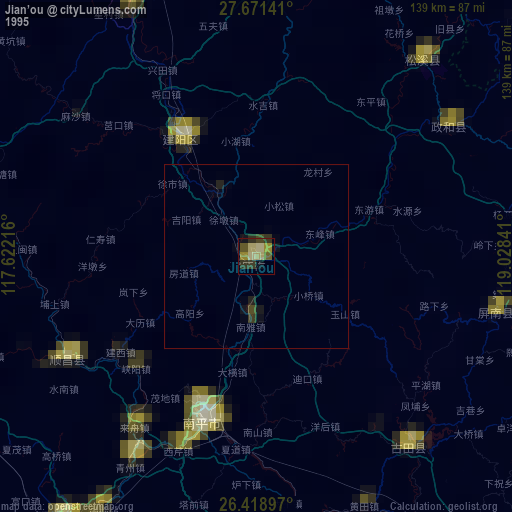
» NASA, Earths city lights 1995
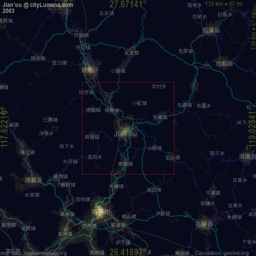
» NASA city lights 2003
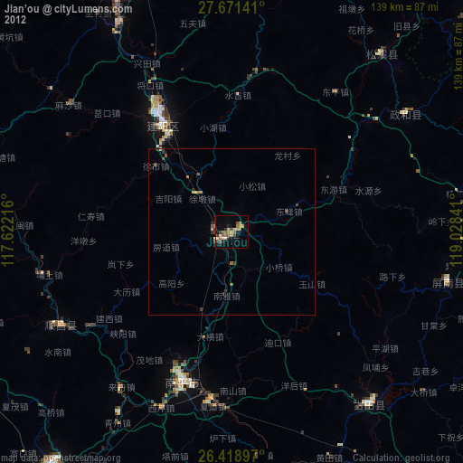
» Earth at Night: Flat Maps 2012, 2016