Nanping night lights from space
Night Light of Nanping (Fujian) from space (China) Src. Average luminocity for 10x10km area is 37.1686% and for 50x50km: 2.7221%.
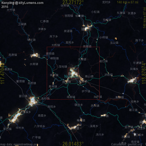

Analysis of Nanping night lights 2016
Square area 10x10 km:
 7.58%
7.58%90-99
6.06%80-89
3.79%70-79
4.36%60-69
2.08%50-59
7.01%40-49
5.11%30-39
3.6%20-29
7.58%10-19
41.86%0-9
10.98%Square area 50x50 km:
0.31%90-99
0.29%80-89
0.21%70-79
0.26%60-69
0.2%50-59
0.46%40-49
0.79%30-39
0.56%20-29
0.46%10-19
2.58%0-9
93.87%Clear (daylight) street map image can be seen on geolist.org.
Map coordinates:
27° 16' 18.2" North, 117° 28' 13.8" East
26° 38' 42" North, 118° 10' 25" East
26° 0' 53.4" North, 118° 52' 36.3" East
Some cities around Nanping sort by population:
• Sanming
70.7 km =43.9 mi,  231°
231°
• Shaowu
103.3 km =64.2 mi,  318°
318°
• Jian’ou
47.2 km =29.3 mi,  18°
18°
• Wuyishan
124.8 km =77.5 mi,  353°
353°
• Gufeng
85.4 km =53.1 mi,  69°
69°
• Shangjie
118.3 km =73.5 mi,  121°
121°
• Shanyang
102.5 km =63.7 mi,  88°
88°
• Rong’an
110.7 km =68.8 mi, 121°
1799846 (p: 171,674)
Sources (retrieved 2019-11-25):
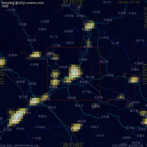
» NASA, Earths city lights 1995
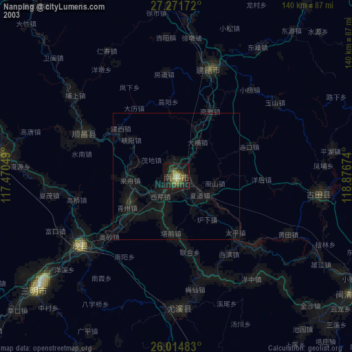
» NASA city lights 2003
» Earth at Night: Flat Maps 2012, 2016