Wuchang night lights from space
Night Light of Wuchang (Heilongjiang) from space (China) Src. Average luminocity for 10x10km area is 9.8952% and for 50x50km: 0.482%.
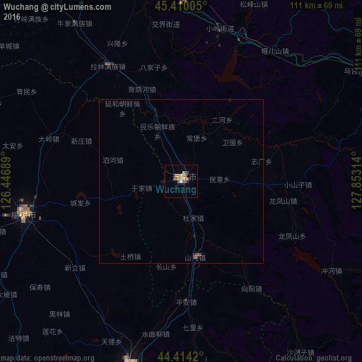

Analysis of Wuchang night lights 2016
Square area 10x10 km:
 0%
0%90-99
1.9%80-89
0.48%70-79
1.59%60-69
1.43%50-59
3.49%40-49
2.38%30-39
0.79%20-29
1.9%10-19
0.16%0-9
85.87%Square area 50x50 km:
0%90-99
0.07%80-89
0.02%70-79
0.06%60-69
0.06%50-59
0.16%40-49
0.18%30-39
0.06%20-29
0.1%10-19
0.1%0-9
99.19%Clear (daylight) street map image can be seen on geolist.org.
Map coordinates:
45° 24' 36.2" North, 126° 26' 48.8" East
44° 54' 51.4" North, 127° 9' 0" East
44° 24' 51.1" North, 127° 51' 11.3" East
Some cities around Wuchang sort by population:
• Harbin
100.8 km =62.6 mi,  337°
337°
• Acheng
71.5 km =44.4 mi,  349°
349°
• Shuangcheng
83.5 km =51.9 mi,  305°
305°
• Yushu
50.2 km =31.2 mi,  255°
255°
• Jishu
72 km =44.7 mi,  202°
202°
• Shangzhi
72.8 km =45.2 mi,  62°
62°
• Shulan
57.5 km =35.7 mi, 195°
• Binzhou
96.7 km =60.1 mi,  15°
15°
2034141 (p: 94,786)
Sources (retrieved 2019-11-25):
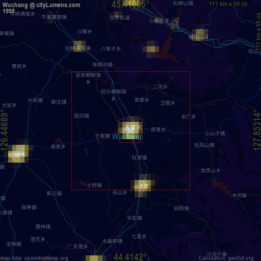
» NASA, Earths city lights 1995
» NASA city lights 2003
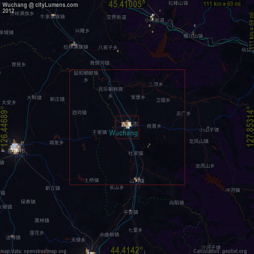
» Earth at Night: Flat Maps 2012, 2016