Shulan night lights from space
Night Light of Shulan (Jilin) from space (China) Src. Average luminocity for 10x10km area is 17.1% and for 50x50km: 0.7491%.
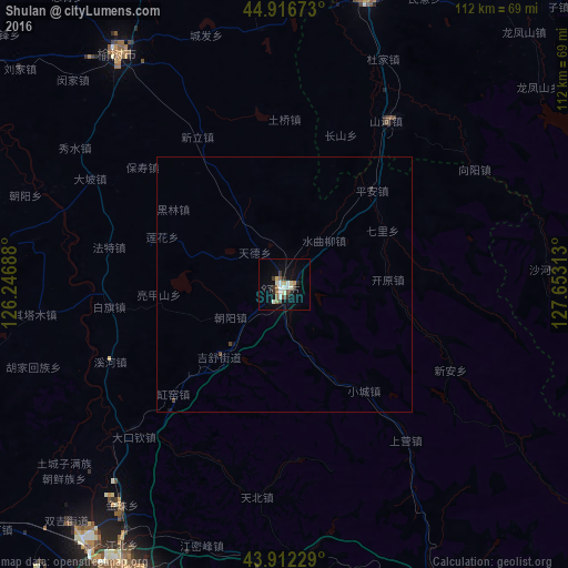

Analysis of Shulan night lights 2016
Square area 10x10 km:
 1.9%
1.9%90-99
4.76%80-89
1.59%70-79
1.11%60-69
1.75%50-59
2.06%40-49
1.27%30-39
2.86%20-29
3.02%10-19
6.83%0-9
72.86%Square area 50x50 km:
0.07%90-99
0.18%80-89
0.06%70-79
0.04%60-69
0.07%50-59
0.08%40-49
0.12%30-39
0.12%20-29
0.14%10-19
0.3%0-9
98.81%Clear (daylight) street map image can be seen on geolist.org.
Map coordinates:
44° 55' 0.2" North, 126° 14' 48.8" East
44° 25' 0" North, 126° 57' 0" East
43° 54' 44.2" North, 127° 39' 11.3" East
Some cities around Shulan sort by population:
• Jilin
70.2 km =43.6 mi,  206°
206°
• Jiutai
93.7 km =58.2 mi,  251°
251°
• Yushu
53.9 km =33.5 mi,  322°
322°
• Minzhu
83.2 km =51.7 mi,  158°
158°
• Dehui
100 km =62.1 mi,  277°
277°
• Jishu
16.3 km =10.1 mi,  226°
226°
• Wuchang
57.5 km =35.7 mi,  15°
15°
• Baishishan
105 km =65.2 mi,  151°
151°
2034761 (p: 77,420)
Sources (retrieved 2019-11-25):
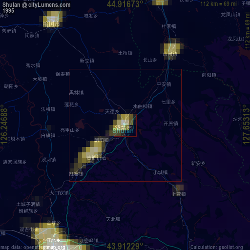
» NASA, Earths city lights 1995
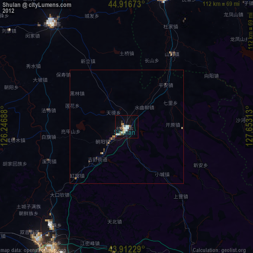
» NASA city lights 2003
» Earth at Night: Flat Maps 2012, 2016