Wenshui night lights from space
Night Light of Wenshui (Guizhou) from space (China) Src. Average luminocity for 10x10km area is 0% and for 50x50km: 0.1518%.
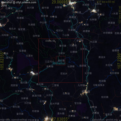
Analysis of Wenshui night lights 2016
Square area 10x10 km:
 0%
0%90-99
0%80-89
0%70-79
0%60-69
0%50-59
0%40-49
0%30-39
0%20-29
0%10-19
0%0-9
100%Square area 50x50 km:
0%90-99
0%80-89
0%70-79
0.01%60-69
0.04%50-59
0.05%40-49
0.09%30-39
0.05%20-29
0.06%10-19
0.06%0-9
99.65%Clear (daylight) street map image can be seen on geolist.org.
Map coordinates:
29° 4' 1" North, 105° 49' 24.8" East
28° 27' 2" North, 106° 31' 36" East
27° 49' 50" North, 107° 13' 47.3" East
Some cities around Wenshui sort by population:
• Chongqing
123.7 km =76.9 mi,  1°
1°
• Zunyi
92.8 km =57.7 mi,  156°
156°
• Yongchuan
117.8 km =73.2 mi,  328°
328°
• Yudong
103.9 km =64.6 mi,  359°
359°
• Loushanguan
45.3 km =28.1 mi,  140°
140°
• Jijiang
97.1 km =60.3 mi,  343°
343°
• Dongxi
37 km =23 mi,  20°
20°
• Ganshui
37.1 km =23.1 mi,  29°
29°
1791422 (p: 5,531)
Sources (retrieved 2019-11-25):
» Earth at Night: Flat Maps 2012, 2016