Dongxi night lights from space
Night Light of Dongxi (Chongqing) from space (China) Src. Average luminocity for 10x10km area is 0.0057% and for 50x50km: 0.8149%.
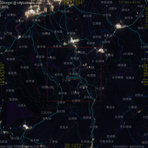
Analysis of Dongxi night lights 2016
Square area 10x10 km:
 0%
0%90-99
0%80-89
0%70-79
0%60-69
0%50-59
0%40-49
0%30-39
0%20-29
0%10-19
0%0-9
100%Square area 50x50 km:
0.04%90-99
0.04%80-89
0.07%70-79
0.05%60-69
0.13%50-59
0.24%40-49
0.28%30-39
0.21%20-29
0.12%10-19
0.13%0-9
98.68%Clear (daylight) street map image can be seen on geolist.org.
Map coordinates:
29° 22' 33.4" North, 105° 57' 28.8" East
28° 45' 41" North, 106° 39' 40" East
28° 8' 35.5" North, 107° 21' 51.3" East
Some cities around Dongxi sort by population:
• Chongqing
89.7 km =55.7 mi,  353°
353°
• Beibei
120.5 km =74.9 mi, 349°
• Yongchuan
99.5 km =61.8 mi,  311°
311°
• Yudong
70.7 km =43.9 mi, 348°
• Loushanguan
71.2 km =44.2 mi,  167°
167°
• Jijiang
71.1 km =44.2 mi,  325°
325°
• Wenshui
37 km =23 mi,  200°
200°
• Ganshui
5.3 km =3.3 mi,  113°
113°
1812168 (p: 7,000)
Sources (retrieved 2019-11-25):
» Earth at Night: Flat Maps 2012, 2016