Jijiang night lights from space
Night Light of Jijiang (Chongqing) from space (China) Src. Average luminocity for 10x10km area is 52.2595% and for 50x50km: 15.7511%.
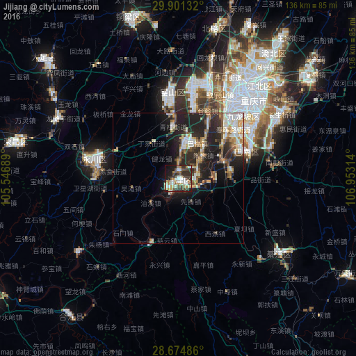
Analysis of Jijiang night lights 2016
Square area 10x10 km:
 9.47%
9.47%90-99
11.17%80-89
5.68%70-79
7.01%60-69
6.06%50-59
5.11%40-49
12.12%30-39
8.71%20-29
18.75%10-19
13.64%0-9
2.27%Square area 50x50 km:
2.31%90-99
3.16%80-89
1.56%70-79
1.78%60-69
1.91%50-59
1.67%40-49
2.54%30-39
2.26%20-29
6.73%10-19
10.93%0-9
65.15%Clear (daylight) street map image can be seen on geolist.org.
Map coordinates:
29° 54' 4.8" North, 105° 32' 48.8" East
29° 17' 23.7" North, 106° 15' 0" East
28° 40' 29.5" North, 106° 57' 11.3" East
Some cities around Jijiang sort by population:
• Chongqing
42.2 km =26.2 mi,  44°
44°
• Beibei
62.4 km =38.8 mi,  16°
16°
• Hechuan
78.1 km =48.5 mi,  1°
1°
• Yongchuan
35.2 km =21.9 mi,  281°
281°
• Yudong
28.2 km =17.5 mi,  67°
67°
• Dongxi
71.1 km =44.2 mi,  145°
145°
• Wenshui
97.1 km =60.3 mi,  163°
163°
• Ganshui
75.6 km =47 mi,  143°
143°
1805798 (p: 61,161)
Sources (retrieved 2019-11-25):
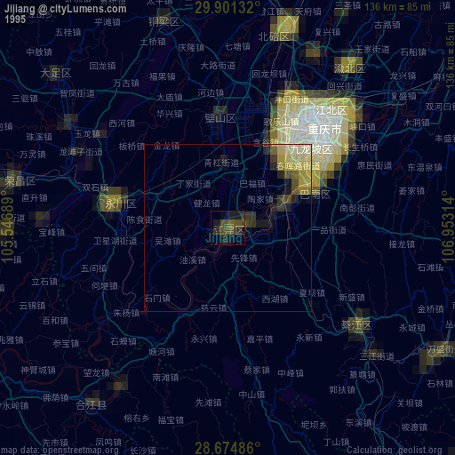
» NASA, Earths city lights 1995
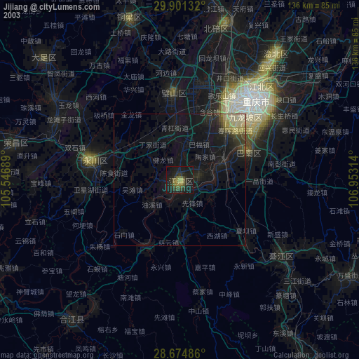
» NASA city lights 2003
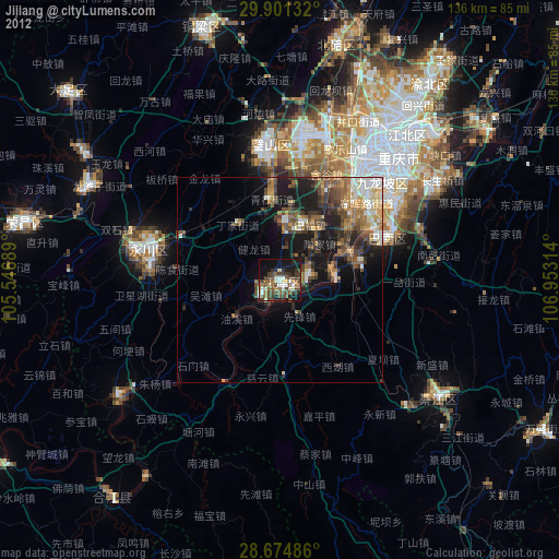
» Earth at Night: Flat Maps 2012, 2016