Zunyi night lights from space
Night Light of Zunyi (Guizhou) from space (China) Src. Average luminocity for 10x10km area is 69.8829% and for 50x50km: 10.9005%.
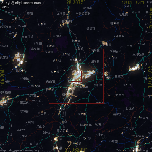
Analysis of Zunyi night lights 2016
Square area 10x10 km:
 21.03%
90-99
21.43%80-89
4.17%70-79
5.75%60-69
10.32%50-59
12.5%40-49
2.58%30-39
4.37%20-29
12.9%10-19
4.96%0-9
0%Square area 50x50 km:
1.87%90-99
2.12%80-89
0.49%70-79
0.8%60-69
1.46%50-59
1.86%40-49
2.14%30-39
1.07%20-29
3.6%10-19
7.97%0-9
76.63%Clear (daylight) street map image can be seen on geolist.org.
Map coordinates:
28° 18' 27" North, 106° 12' 14.8" East
27° 41' 12" North, 106° 54' 26" East
27° 3' 44.2" North, 107° 36' 37.3" East
Some cities around Zunyi sort by population:
• Guiyang
124.1 km =77.1 mi,  188°
188°
• Duyun
169 km =105 mi,  159°
159°
• Loushanguan
50.7 km =31.5 mi,  350°
350°
• Bijie
165.5 km =102.8 mi,  255°
255°
• Shiqian
131.4 km =81.6 mi,  97°
97°
• Dongxi
121.9 km =75.7 mi, 348°
• Wenshui
92.8 km =57.7 mi,  336°
336°
• Ganshui
118.9 km =73.9 mi, 350°
1783621 (p: 466,292)
Sources (retrieved 2019-11-25):
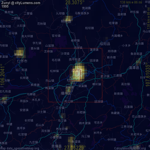
» NASA, Earths city lights 1995
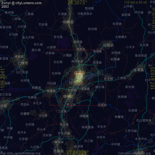
» NASA city lights 2003
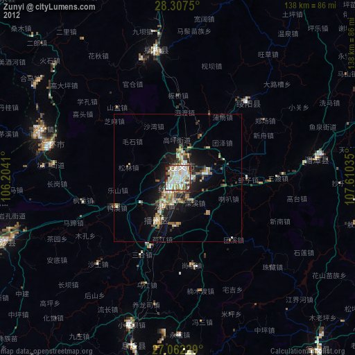
» Earth at Night: Flat Maps 2012, 2016