Hancheng night lights from space
Night Light of Hancheng (Shaanxi) from space (China) Src. Average luminocity for 10x10km area is 39.6044% and for 50x50km: 6.749%.
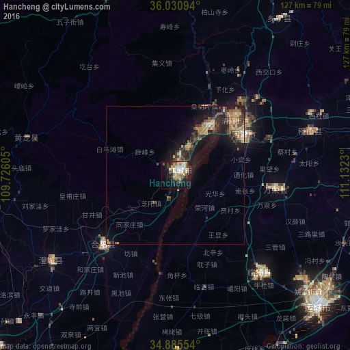
Analysis of Hancheng night lights 2016
Square area 10x10 km:
 6.04%
6.04%90-99
8.97%80-89
4.76%70-79
4.21%60-69
8.97%50-59
4.4%40-49
2.2%30-39
7.33%20-29
5.13%10-19
27.66%0-9
20.33%Square area 50x50 km:
0.35%90-99
0.7%80-89
0.83%70-79
0.89%60-69
1.65%50-59
0.75%40-49
1.06%30-39
1.8%20-29
1.76%10-19
6.61%0-9
83.6%Clear (daylight) street map image can be seen on geolist.org.
Map coordinates:
36° 1' 51.4" North, 109° 43' 33.8" East
35° 27' 37" North, 110° 25' 45" East
34° 53' 7.9" North, 111° 7' 56.3" East
Some cities around Hancheng sort by population:
• Changzhi
122 km =75.8 mi,  103°
103°
• Huayin
104.9 km =65.2 mi,  198°
198°
• Linfen
120.6 km =74.9 mi,  54°
54°
• Tongchuanshi
129.3 km =80.3 mi,  250°
250°
• Yuncheng
70.6 km =43.9 mi,  133°
133°
• Weinan
135.4 km =84.1 mi,  218°
218°
• Yima
154.8 km =96.2 mi,  121°
121°
• Yanliang
140.9 km =87.6 mi,  230°
230°
1808981 (p: 58,049)
Sources (retrieved 2019-11-25):
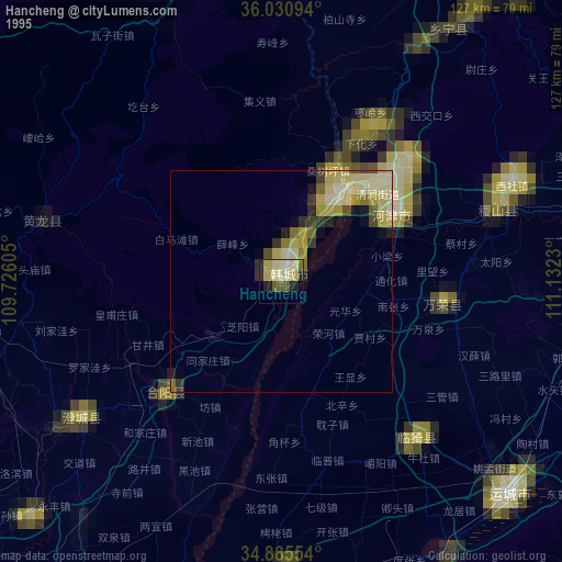
» NASA, Earths city lights 1995
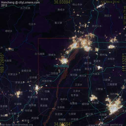
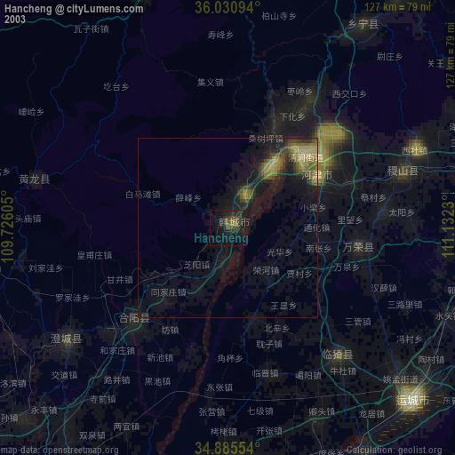
» NASA city lights 2003
» Earth at Night: Flat Maps 2012, 2016