Tantou night lights from space
Night Light of Tantou (Fujian) from space (China) Src. Average luminocity for 10x10km area is 32.0179% and for 50x50km: 24.853%.
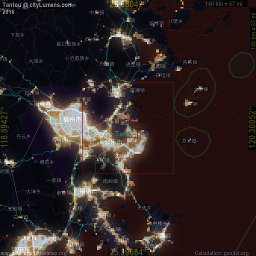
Analysis of Tantou night lights 2016
Square area 10x10 km:
 0%
0%90-99
0%80-89
0.79%70-79
6.15%60-69
4.76%50-59
7.14%40-49
16.47%30-39
7.14%20-29
14.88%10-19
41.67%0-9
0.99%Square area 50x50 km:
4.17%90-99
3.81%80-89
1.73%70-79
3.29%60-69
3.17%50-59
4.7%40-49
5.81%30-39
3.86%20-29
7.8%10-19
13.31%0-9
48.36%Clear (daylight) street map image can be seen on geolist.org.
Map coordinates:
26° 39' 37.5" North, 118° 53' 39.4" East
26° 1' 49.2" North, 119° 35' 50.6" East
25° 23' 48.6" North, 120° 18' 1.9" East
Some cities around Tantou sort by population:
• Fuzhou
29.3 km =18.2 mi,  276°
276°
• Fuqing
40.3 km =25 mi,  212°
212°
• Dongdai
23.8 km =14.8 mi,  4°
4°
• Dinghaicun
33.8 km =21 mi,  34°
34°
• Shangjie
41.7 km =25.9 mi, 278°
• Guantou
12.3 km =7.6 mi,  343°
343°
• Tingjiang
10.4 km =6.5 mi,  297°
297°
• Houyu
7 km =4.3 mi, 297°
1793230 (p: 69,050)
Sources (retrieved 2019-11-25):
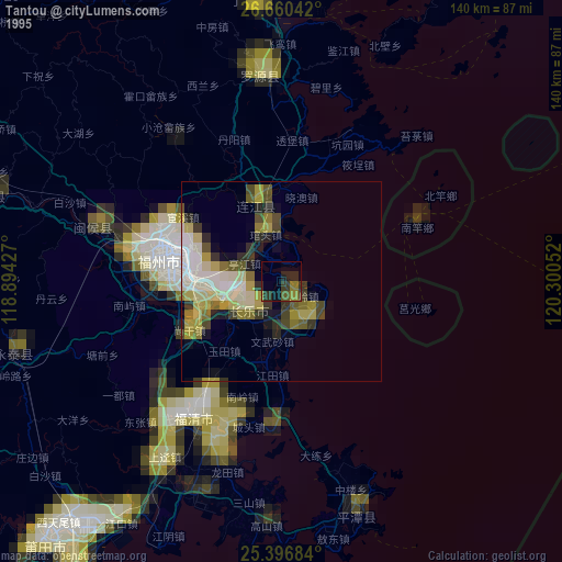
» NASA, Earths city lights 1995
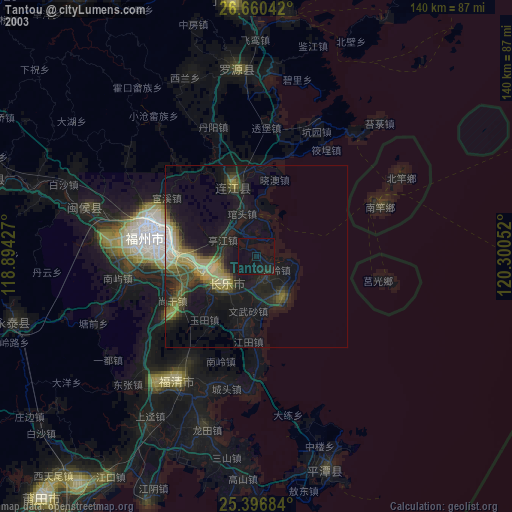
» NASA city lights 2003
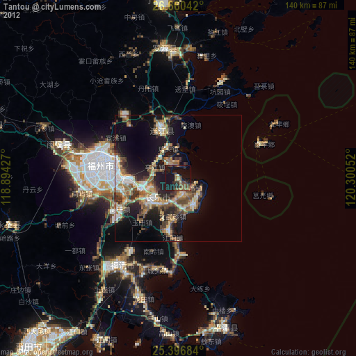
» Earth at Night: Flat Maps 2012, 2016