Fuzhou night lights from space
Night Light of Fuzhou (Fujian) from space (China) Src. Average luminocity for 10x10km area is 99.5655% and for 50x50km: 34.6194%.
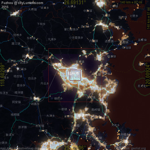
Analysis of Fuzhou night lights 2016
Square area 10x10 km:
 81.94%
90-99
16.87%80-89
1.19%70-79
0%60-69
0%50-59
0%40-49
0%30-39
0%20-29
0%10-19
0%0-9
0%Square area 50x50 km:
9.57%90-99
6.44%80-89
2.57%70-79
4.19%60-69
4.28%50-59
4.38%40-49
4.79%30-39
4.13%20-29
8.13%10-19
13.52%0-9
38%Clear (daylight) street map image can be seen on geolist.org.
Map coordinates:
26° 41' 28.7" North, 118° 36' 10.8" East
26° 3' 41" North, 119° 18' 22" East
25° 25' 41" North, 120° 0' 33.3" East
Some cities around Fuzhou sort by population:
• Tantou
29.3 km =18.2 mi,  96°
96°
• Fuqing
38.1 km =23.7 mi,  168°
168°
• Dongdai
36.9 km =22.9 mi,  56°
56°
• Shangjie
12.4 km =7.7 mi,  283°
283°
• Guantou
26.8 km =16.7 mi,  72°
72°
• Rong’an
19.7 km =12.2 mi,  290°
290°
• Tingjiang
20 km =12.4 mi,  85°
85°
• Houyu
22.9 km =14.2 mi, 90°
1810821 (p: 1,179,720)
Sources (retrieved 2019-11-25):
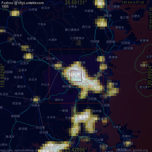
» NASA, Earths city lights 1995
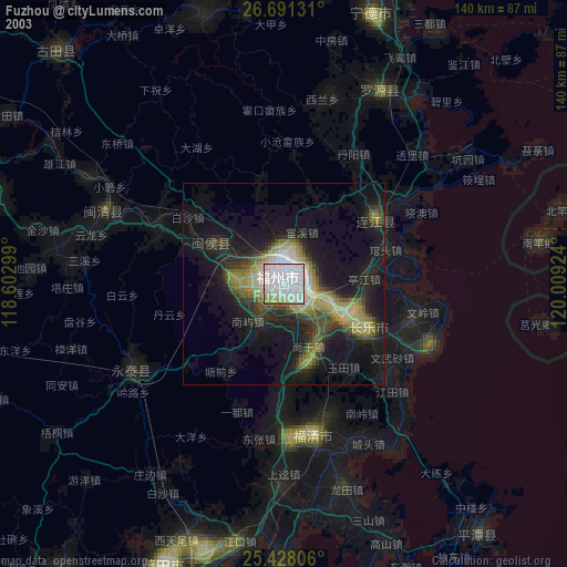
» NASA city lights 2003
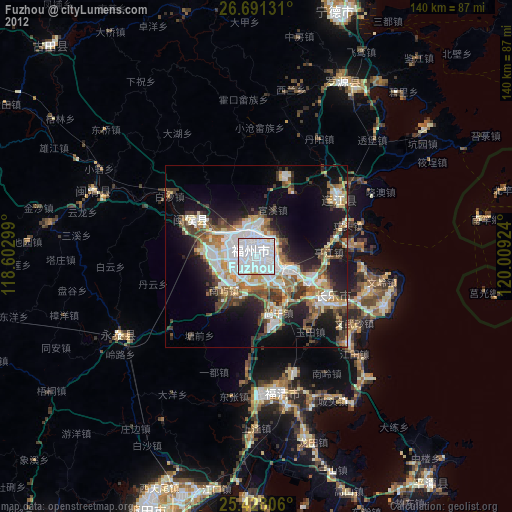
» Earth at Night: Flat Maps 2012, 2016