Suifenhe night lights from space
Night Light of Suifenhe (Heilongjiang) from space (China) Src. Average luminocity for 10x10km area is 23.9889% and for 50x50km: 1.3674%.
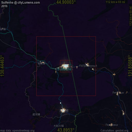
Analysis of Suifenhe night lights 2016
Square area 10x10 km:
 5.4%
5.4%90-99
5.56%80-89
2.7%70-79
1.11%60-69
1.11%50-59
1.43%40-49
2.06%30-39
2.06%20-29
5.4%10-19
24.44%0-9
48.73%Square area 50x50 km:
0.22%90-99
0.26%80-89
0.14%70-79
0.07%60-69
0.08%50-59
0.14%40-49
0.18%30-39
0.18%20-29
0.38%10-19
1.05%0-9
97.3%Clear (daylight) street map image can be seen on geolist.org.
Map coordinates:
44° 54' 0.1" North, 130° 26' 40.7" East
44° 23' 59.4" North, 131° 8' 51.9" East
43° 53' 43.1" North, 131° 51' 3.2" East
Some cities around Suifenhe sort by population:
• Bamiantong
76 km =47.2 mi,  319°
319°
• Dongning
37.6 km =23.4 mi,  183°
183°
• Pogranichnyy, RU
18.3 km =11.4 mi,  86°
86°
• Kamen’-Rybolov, RU
80.9 km =50.3 mi,  61°
61°
• Khorol’, RU
73.8 km =45.9 mi, 87°
• Pokrovka, RU
63 km =39.1 mi,  141°
141°
• Vozdvizhenka, RU
84.9 km =52.8 mi,  131°
131°
• Lipovtsy, RU
50.9 km =31.6 mi,  115°
115°
2034657 (p: 15,183)
Sources (retrieved 2019-11-25):
» Earth at Night: Flat Maps 2012, 2016