Dongning night lights from space
Night Light of Dongning (Heilongjiang) from space (China) Src. Average luminocity for 10x10km area is 12.9381% and for 50x50km: 0.5556%.
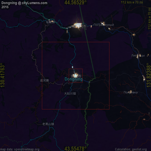
Analysis of Dongning night lights 2016
Square area 10x10 km:
 2.22%
2.22%90-99
3.02%80-89
1.27%70-79
0.95%60-69
0.79%50-59
2.54%40-49
1.11%30-39
0.16%20-29
0.79%10-19
2.7%0-9
84.44%Square area 50x50 km:
0.09%90-99
0.14%80-89
0.05%70-79
0.04%60-69
0.03%50-59
0.1%40-49
0.04%30-39
0.01%20-29
0.06%10-19
0.13%0-9
99.33%Clear (daylight) street map image can be seen on geolist.org.
Map coordinates:
44° 33' 55" North, 130° 25' 3.5" East
44° 3' 43.9" North, 131° 7' 14.7" East
43° 33' 17.2" North, 131° 49' 26" East
Some cities around Dongning sort by population:
• Ussuriysk, RU
72.1 km =44.8 mi,  113°
113°
• Suifenhe
37.6 km =23.4 mi,  3°
3°
• Pogranichnyy, RU
43.7 km =27.2 mi,  27°
27°
• Pokrovka, RU
42.8 km =26.6 mi, 106°
• Mikhaylovka, RU
72.5 km =45 mi,  101°
101°
• Novoshakhtinskiy, RU
83.6 km =51.9 mi,  92°
92°
• Vozdvizhenka, RU
68.6 km =42.6 mi, 105°
• Lipovtsy, RU
50.5 km =31.4 mi,  72°
72°
2037611 (p: 61,440)
Sources (retrieved 2019-11-25):
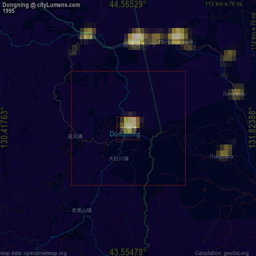
» NASA, Earths city lights 1995
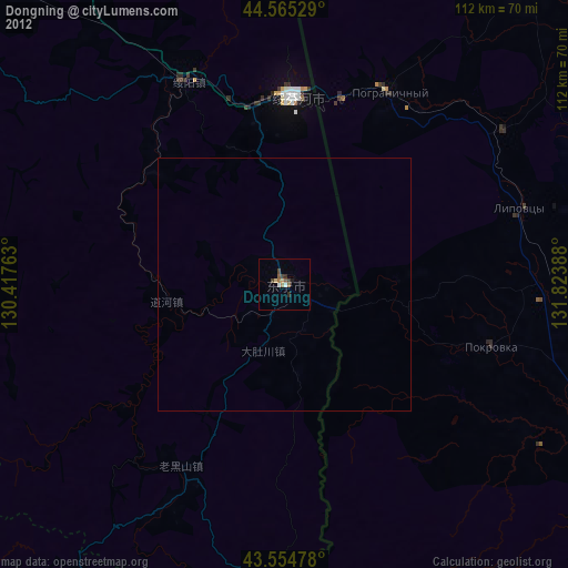
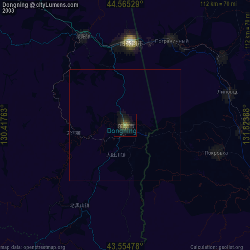
» NASA city lights 2003
» Earth at Night: Flat Maps 2012, 2016