Donghai night lights from space
Night Light of Donghai (Guangdong) from space (China) Src. Average luminocity for 10x10km area is 45.9345% and for 50x50km: 7.7173%.
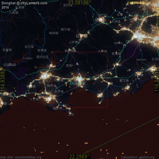
Analysis of Donghai night lights 2016
Square area 10x10 km:
 7.34%
7.34%90-99
7.54%80-89
3.37%70-79
8.13%60-69
1.98%50-59
10.52%40-49
8.93%30-39
12.5%20-29
13.89%10-19
25.6%0-9
0.2%Square area 50x50 km:
0.33%90-99
0.36%80-89
0.6%70-79
1.4%60-69
0.93%50-59
1.44%40-49
1.52%30-39
1.92%20-29
2.41%10-19
5.77%0-9
83.31%Clear (daylight) street map image can be seen on geolist.org.
Map coordinates:
23° 35' 30.7" North, 114° 56' 20.1" East
22° 56' 45.3" North, 115° 38' 31.3" East
22° 17' 48.8" North, 116° 20' 42.6" East
Some cities around Donghai sort by population:
• Jieyang
99.3 km =61.7 mi,  48°
48°
• Shanwei
35.3 km =21.9 mi,  238°
238°
• Jieshi
24.5 km =15.2 mi,  127°
127°
• Hepo
57.2 km =35.5 mi,  19°
19°
• Jiazi
44.8 km =27.8 mi,  99°
99°
• Huicheng
67.1 km =41.7 mi,  81°
81°
• Puning
67.4 km =41.9 mi, 53°
• Pingshan
95.2 km =59.2 mi,  273°
273°
1812521 (p: 188,602)
Sources (retrieved 2019-11-25):
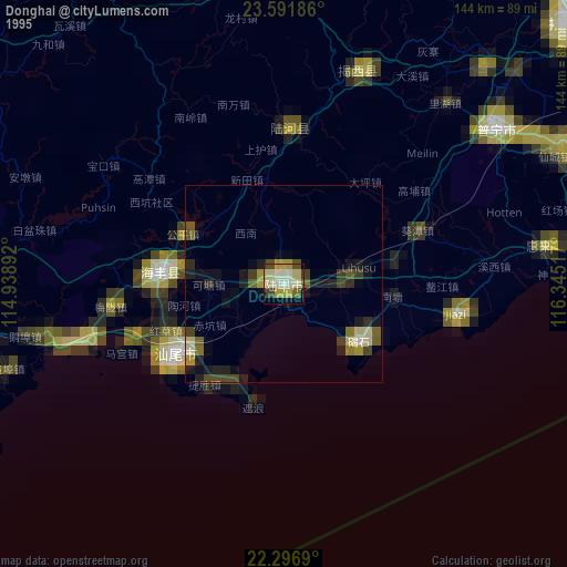
» NASA, Earths city lights 1995
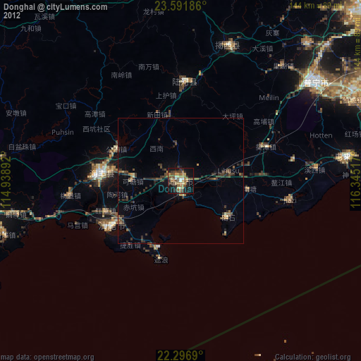
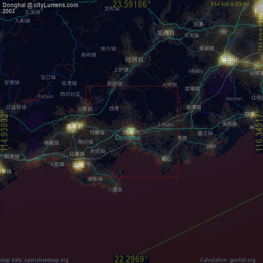
» NASA city lights 2003
» Earth at Night: Flat Maps 2012, 2016