Jieshi night lights from space
Night Light of Jieshi (Guangdong) from space (China) Src. Average luminocity for 10x10km area is 16.4663% and for 50x50km: 6.403%.
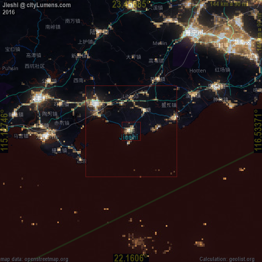
Analysis of Jieshi night lights 2016
Square area 10x10 km:
 0.4%
0.4%90-99
0.4%80-89
3.57%70-79
2.38%60-69
1.19%50-59
4.17%40-49
3.77%30-39
4.76%20-29
3.77%10-19
3.37%0-9
72.22%Square area 50x50 km:
0.36%90-99
0.44%80-89
0.67%70-79
0.97%60-69
0.82%50-59
1.07%40-49
1.23%30-39
1.73%20-29
2.07%10-19
3.21%0-9
87.44%Clear (daylight) street map image can be seen on geolist.org.
Map coordinates:
23° 27' 24.7" North, 115° 7' 38.9" East
22° 48' 37" North, 115° 49' 50.1" East
22° 9' 38.2" North, 116° 32' 1.4" East
Some cities around Jieshi sort by population:
• Jieyang
98 km =60.9 mi,  33°
33°
• Donghai
24.5 km =15.2 mi,  307°
307°
• Shanwei
49.6 km =30.8 mi,  266°
266°
• Hepo
69 km =42.9 mi,  359°
359°
• Jiazi
26 km =16.2 mi,  72°
72°
• Huicheng
53.4 km =33.2 mi,  61°
61°
• Haimen
90.6 km =56.3 mi, 61°
• Puning
65.5 km =40.7 mi, 31°
1805857 (p: 137,444)
Sources (retrieved 2019-11-25):
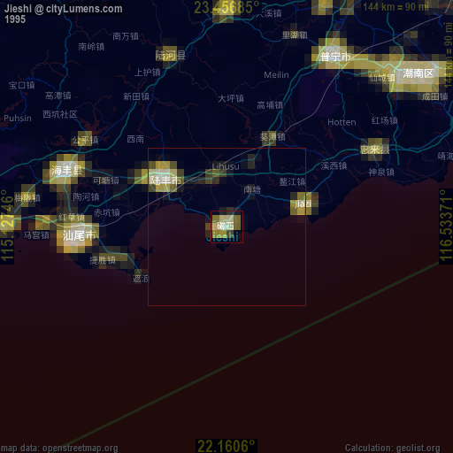
» NASA, Earths city lights 1995
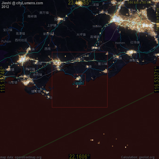
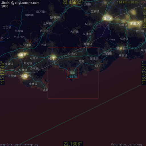
» NASA city lights 2003
» Earth at Night: Flat Maps 2012, 2016