Fu’an night lights from space
Night Light of Fu’an (Fujian) from space (China) Src. Average luminocity for 10x10km area is 27.7401% and for 50x50km: 2.7843%.
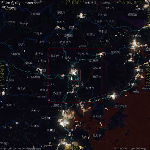
Analysis of Fu’an night lights 2016
Square area 10x10 km:
 9.33%
9.33%90-99
5.75%80-89
1.59%70-79
0.79%60-69
0.79%50-59
0.99%40-49
5.95%30-39
2.58%20-29
1.19%10-19
29.96%0-9
41.07%Square area 50x50 km:
0.42%90-99
0.3%80-89
0.12%70-79
0.26%60-69
0.24%50-59
0.32%40-49
0.68%30-39
0.77%20-29
0.59%10-19
1.81%0-9
94.47%Clear (daylight) street map image can be seen on geolist.org.
Map coordinates:
27° 41' 17.2" North, 118° 56' 58.8" East
27° 3' 49.4" North, 119° 39' 10.1" East
26° 26' 9.1" North, 120° 21' 21.3" East
Some cities around Fu’an sort by population:
• Ningde
46.5 km =28.9 mi,  196°
196°
• Huotong
33.3 km =20.7 mi,  224°
224°
• Xiabaishi
27.7 km =17.2 mi,  174°
174°
• Qidu
34.8 km =21.6 mi, 197°
• Zhangwan
39.6 km =24.6 mi,  188°
188°
• Shajiang
44.1 km =27.4 mi,  135°
135°
• Jianjiang
58 km =36 mi, 169°
• Xibing
11.6 km =7.2 mi, 142°
1808872 (p: 71,053)
Sources (retrieved 2019-11-25):
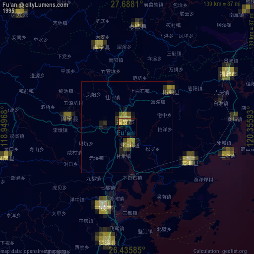
» NASA, Earths city lights 1995
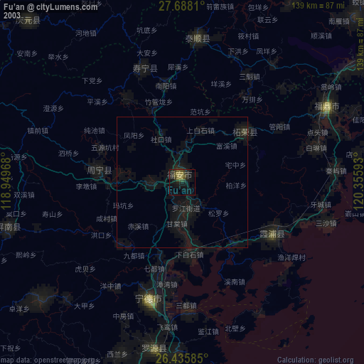
» NASA city lights 2003
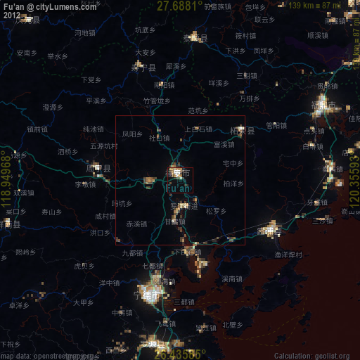
» Earth at Night: Flat Maps 2012, 2016