Nanchong night lights from space
Night Light of Nanchong (Sichuan) from space (China) Src. Average luminocity for 10x10km area is 78.6836% and for 50x50km: 8.0412%.
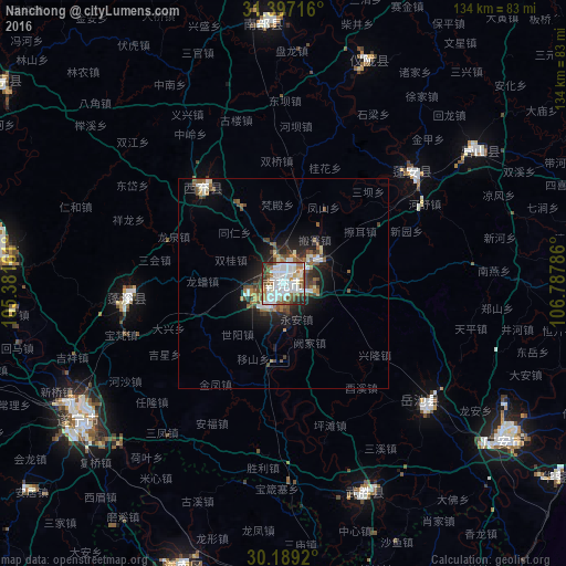
Analysis of Nanchong night lights 2016
Square area 10x10 km:
 31.99%
90-99
26.4%80-89
1.4%70-79
2.45%60-69
8.39%50-59
13.46%40-49
4.37%30-39
5.07%20-29
5.94%10-19
0.52%0-9
0%Square area 50x50 km:
1.73%90-99
1.71%80-89
0.19%70-79
0.43%60-69
1.25%50-59
1.47%40-49
1.43%30-39
0.98%20-29
1.79%10-19
4.33%0-9
84.69%Clear (daylight) street map image can be seen on geolist.org.
Map coordinates:
31° 23' 49.8" North, 105° 22' 53.8" East
30° 47' 42.3" North, 106° 5' 5" East
30° 11' 21.1" North, 106° 47' 16.3" East
Some cities around Nanchong sort by population:
• Gaoping
2.8 km =1.7 mi,  141°
141°
• Dazhou
142.8 km =88.7 mi,  70°
70°
• Suining
58.4 km =36.3 mi,  236°
236°
• Beibei
112.8 km =70.1 mi,  162°
162°
• Hechuan
90.9 km =56.5 mi,  169°
169°
• Nanlong
62.1 km =38.6 mi,  358°
358°
• Langzhong
84.4 km =52.4 mi,  354°
354°
• Tongchuan
100.8 km =62.6 mi,  289°
289°
1800146 (p: 7,150,000)
Sources (retrieved 2019-11-25):
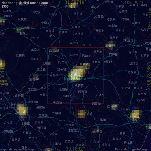
» NASA, Earths city lights 1995
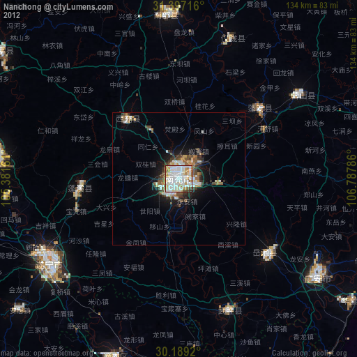
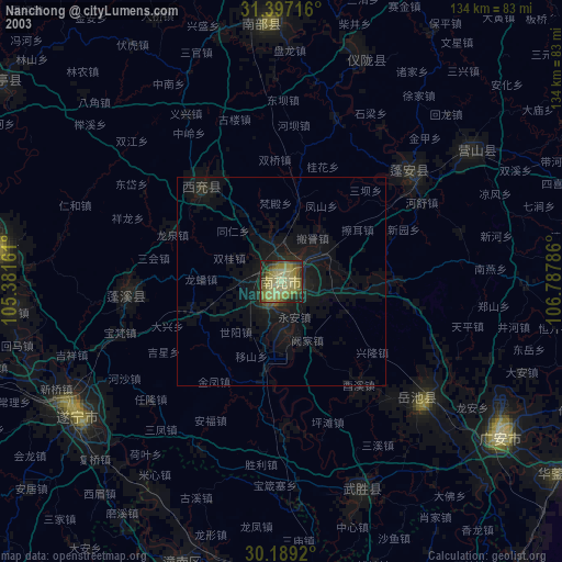
» NASA city lights 2003
» Earth at Night: Flat Maps 2012, 2016