Langzhong night lights from space
Night Light of Langzhong (Sichuan) from space (China) Src. Average luminocity for 10x10km area is 31.9213% and for 50x50km: 3.4089%.
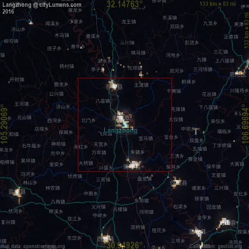
Analysis of Langzhong night lights 2016
Square area 10x10 km:
 6.47%
6.47%90-99
6.12%80-89
3.67%70-79
2.62%60-69
5.42%50-59
3.67%40-49
3.32%30-39
0.7%20-29
4.72%10-19
33.22%0-9
30.07%Square area 50x50 km:
0.54%90-99
0.62%80-89
0.26%70-79
0.28%60-69
0.51%50-59
0.41%40-49
0.4%30-39
0.18%20-29
0.47%10-19
3.08%0-9
93.24%Clear (daylight) street map image can be seen on geolist.org.
Map coordinates:
32° 8' 51.5" North, 105° 17' 26.5" East
31° 33' 1.3" North, 105° 59' 37.7" East
30° 56' 57.3" North, 106° 41' 49" East
Some cities around Langzhong sort by population:
• Nanchong
84.4 km =52.4 mi,  174°
174°
• Mianyang
124.7 km =77.5 mi,  265°
265°
• Guangyuan
100.4 km =62.4 mi,  350°
350°
• Gaoping
86.8 km =53.9 mi, 173°
• Jiangyou
123.2 km =76.6 mi,  281°
281°
• Suining
122.6 km =76.2 mi,  199°
199°
• Nanlong
22.9 km =14.2 mi,  163°
163°
• Tongchuan
99.9 km =62.1 mi,  239°
239°
1816924 (p: 60,542)
Sources (retrieved 2019-11-25):
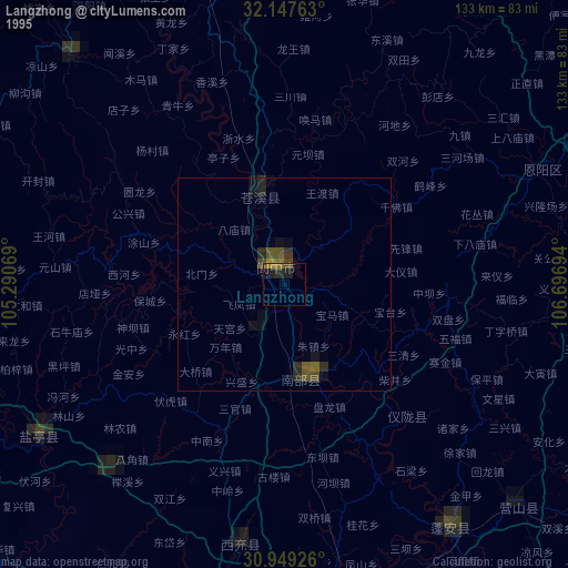
» NASA, Earths city lights 1995
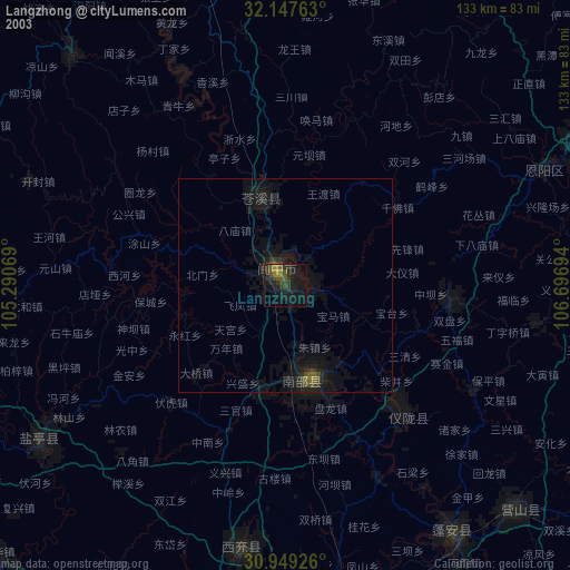
» NASA city lights 2003
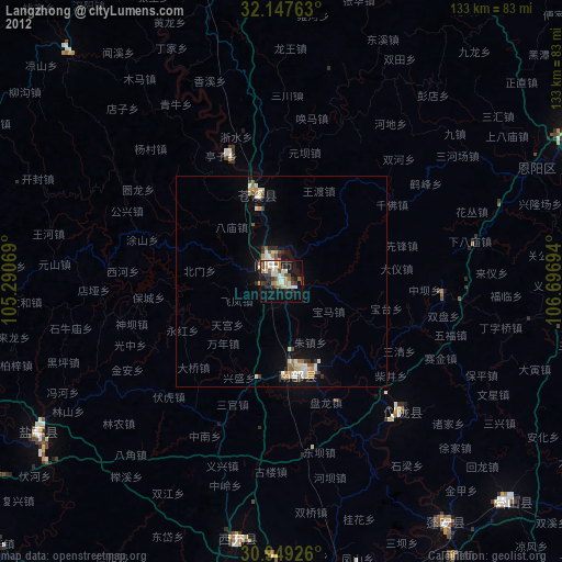
» Earth at Night: Flat Maps 2012, 2016