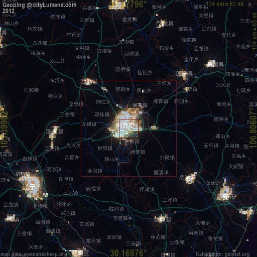
Gaoping night lights from space
Night Light of Gaoping (Sichuan) from space (China) Src. Average luminocity for 10x10km area is 70.4965% and for 50x50km: 7.7962%.


Analysis of Gaoping night lights 2016
Square area 10x10 km:
 27.27%
90-99
21.33%80-89
1.05%70-79
2.62%60-69
6.29%50-59
13.99%40-49
8.04%30-39
4.55%20-29
6.99%10-19
7.17%0-9
0.7%Square area 50x50 km:
1.7%90-99
1.65%80-89
0.18%70-79
0.43%60-69
1.19%50-59
1.38%40-49
1.41%30-39
0.97%20-29
1.79%10-19
4.29%0-9
85.02%Clear (daylight) street map image can be seen on geolist.org.
Map coordinates:
31° 22' 40.7" North, 105° 23' 59.4" East
30° 46' 32.7" North, 106° 6' 10.6" East
30° 10' 11.1" North, 106° 48' 21.9" East
Some cities around Gaoping sort by population:
• Chongqing
141.6 km =88 mi,  162°
162°
• Nanchong
2.8 km =1.7 mi,  321°
321°
• Suining
58.8 km =36.5 mi,  239°
239°
• Beibei
110.2 km =68.5 mi, 163°
• Hechuan
88.5 km =55 mi,  169°
169°
• Nanlong
64.3 km =40 mi,  356°
356°
• Langzhong
86.8 km =53.9 mi,  353°
353°
• Tongchuan
103.1 km =64.1 mi,  290°
290°
1810437 (p: 204,368)
Sources (retrieved 2019-11-25):
» NASA, Earths city lights 1995
» NASA city lights 2003
» Earth at Night: Flat Maps 2012, 2016