Mudanjiang night lights from space
Night Light of Mudanjiang (Heilongjiang) from space (China) Src. Average luminocity for 10x10km area is 72.1924% and for 50x50km: 5.7818%.
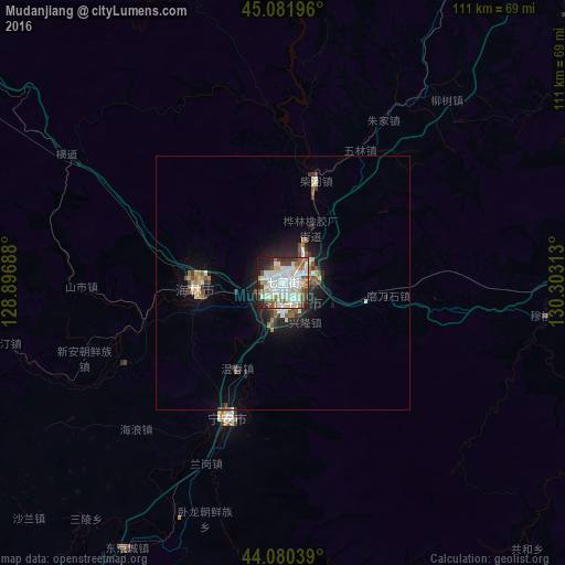
Analysis of Mudanjiang night lights 2016
Square area 10x10 km:
 21.67%
90-99
25.45%80-89
7.27%70-79
3.79%60-69
5.45%50-59
8.79%40-49
8.03%30-39
6.67%20-29
8.03%10-19
4.7%0-9
0.15%Square area 50x50 km:
0.97%90-99
1.33%80-89
0.51%70-79
0.34%60-69
0.75%50-59
0.73%40-49
0.81%30-39
0.82%20-29
1.37%10-19
3.33%0-9
89.05%Clear (daylight) street map image can be seen on geolist.org.
Map coordinates:
45° 4' 55.1" North, 128° 53' 48.8" East
44° 34' 60" North, 129° 36' 0" East
44° 4' 49.4" North, 130° 18' 11.3" East
Some cities around Mudanjiang sort by population:
• Jixi
133.3 km =82.8 mi,  53°
53°
• Fendou
124.2 km =77.2 mi,  55°
55°
• Dongxing
127.2 km =79 mi, 47°
• Hailin
17 km =10.6 mi,  265°
265°
• Linkou
93.9 km =58.3 mi,  33°
33°
• Chaihe
20.6 km =12.8 mi,  17°
17°
• Bamiantong
81.6 km =50.7 mi, 62°
• Suifenhe
124.4 km =77.3 mi,  99°
99°
2035715 (p: 665,915)
Sources (retrieved 2019-11-25):
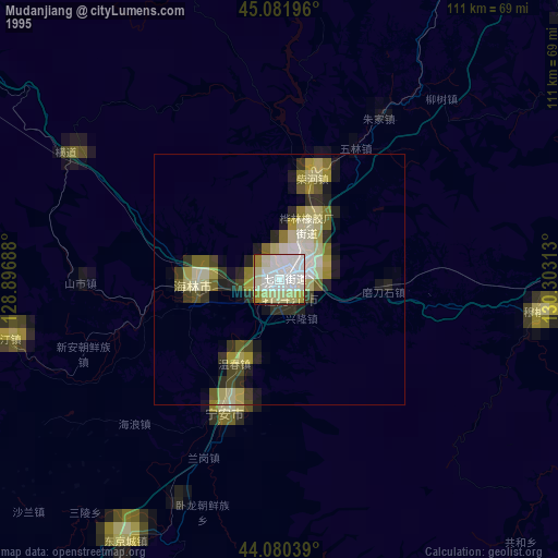
» NASA, Earths city lights 1995
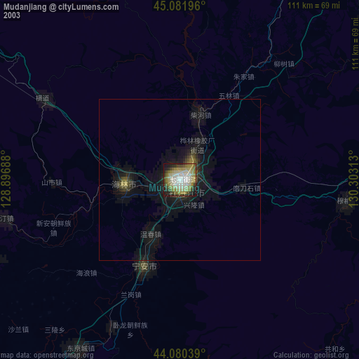
» NASA city lights 2003
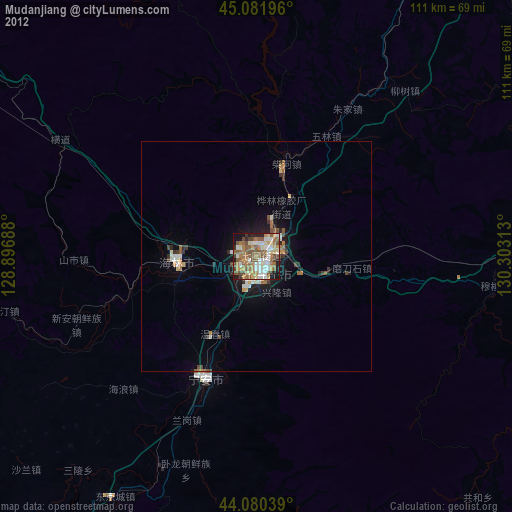
» Earth at Night: Flat Maps 2012, 2016