Fendou night lights from space
Night Light of Fendou (Heilongjiang) from space (China) Src. Average luminocity for 10x10km area is 4.3333% and for 50x50km: 2.7782%.
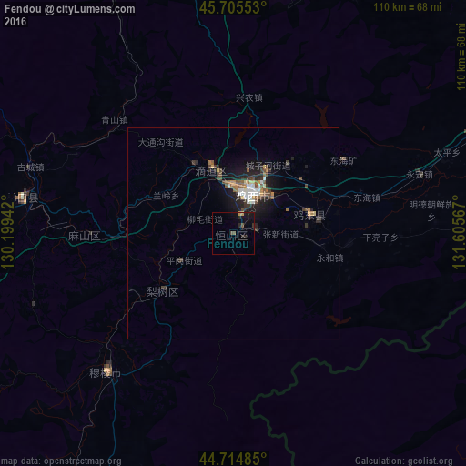
Analysis of Fendou night lights 2016
Square area 10x10 km:
 0%
0%90-99
0%80-89
0%70-79
1.21%60-69
0%50-59
0.91%40-49
0.91%30-39
0.15%20-29
2.58%10-19
5.76%0-9
88.48%Square area 50x50 km:
0.29%90-99
0.42%80-89
0.13%70-79
0.35%60-69
0.29%50-59
0.46%40-49
0.51%30-39
0.52%20-29
0.88%10-19
2.39%0-9
93.74%Clear (daylight) street map image can be seen on geolist.org.
Map coordinates:
45° 42' 19.9" North, 130° 11' 57.9" East
45° 12' 44.5" North, 130° 54' 9.1" East
44° 42' 53.5" North, 131° 36' 20.4" East
Some cities around Fendou sort by population:
• Jixi
10.8 km =6.7 mi,  23°
23°
• Taihecun
61.4 km =38.2 mi,  356°
356°
• Dongxing
18.8 km =11.7 mi,  331°
331°
• Chengzihe
18.6 km =11.6 mi,  43°
43°
• Boli
65.4 km =40.6 mi,  336°
336°
• Linkou
50.8 km =31.6 mi,  279°
279°
• Bamiantong
44.5 km =27.7 mi,  222°
222°
• Jidong
14.2 km =8.8 mi,  88°
88°
2036920 (p: 164,844)
Sources (retrieved 2019-11-25):
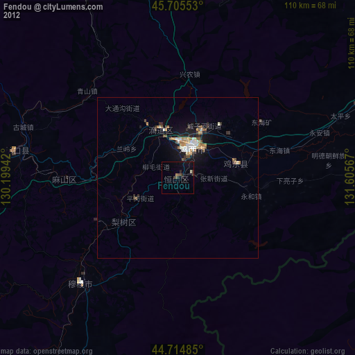
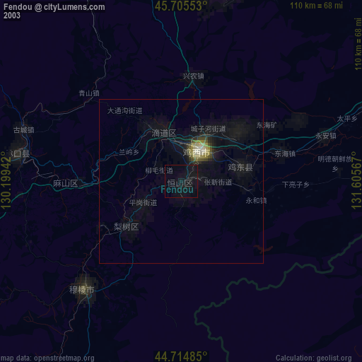
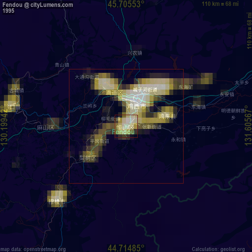
» NASA, Earths city lights 1995
» NASA city lights 2003
» Earth at Night: Flat Maps 2012, 2016