Longgang night lights from space
Night Light of Longgang (Shandong) from space (China) Src. Average luminocity for 10x10km area is 50.4014% and for 50x50km: 10.4039%.
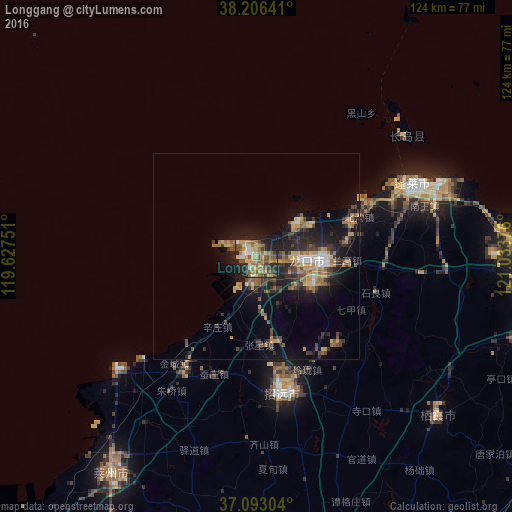
Analysis of Longgang night lights 2016
Square area 10x10 km:
 3.23%
3.23%90-99
5.95%80-89
10.03%70-79
8.33%60-69
13.1%50-59
15.48%40-49
2.38%30-39
6.63%20-29
18.03%10-19
16.84%0-9
0%Square area 50x50 km:
0.5%90-99
0.85%80-89
1.15%70-79
2.04%60-69
1.94%50-59
1.98%40-49
1.42%30-39
2.35%20-29
3.38%10-19
8.18%0-9
76.22%Clear (daylight) street map image can be seen on geolist.org.
Map coordinates:
38° 12' 23.1" North, 119° 37' 39" East
37° 39' 6.5" North, 120° 19' 50.3" East
37° 5' 34.9" North, 121° 2' 1.5" East
Some cities around Longgang sort by population:
• Yantai
99.8 km =62 mi,  101°
101°
• Laizhou
62.6 km =38.9 mi,  213°
213°
• Laiyang
82.4 km =51.2 mi,  155°
155°
• Zhaoyuan
32.7 km =20.3 mi,  167°
167°
• Dengzhou
41.5 km =25.8 mi,  65°
65°
• Zhuangyuan
58.3 km =36.2 mi,  131°
131°
• Laixi
89.8 km =55.8 mi, 168°
• Qingyang
83.5 km =51.9 mi, 101°
1802550 (p: 60,444)
Sources (retrieved 2019-11-25):
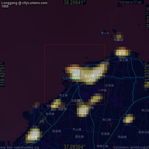
» NASA, Earths city lights 1995
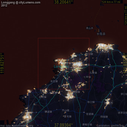
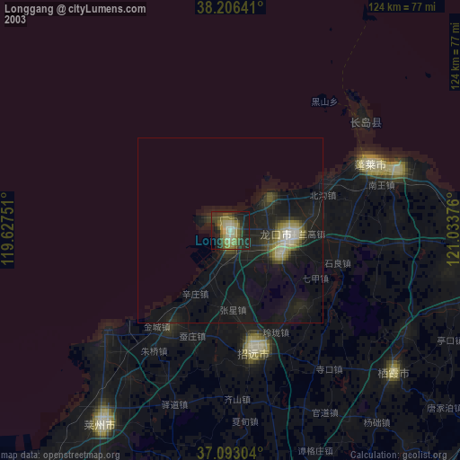
» NASA city lights 2003
» Earth at Night: Flat Maps 2012, 2016