Laizhou night lights from space
Night Light of Laizhou (Shandong) from space (China) Src. Average luminocity for 10x10km area is 38.9269% and for 50x50km: 4.8252%.
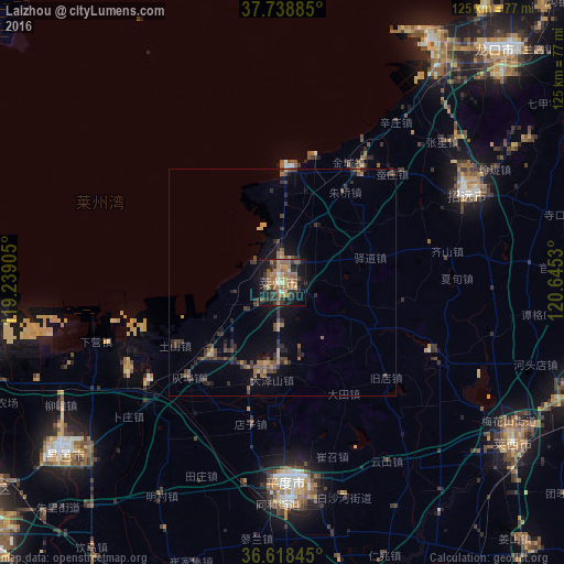
Analysis of Laizhou night lights 2016
Square area 10x10 km:
 0.85%
0.85%90-99
1.87%80-89
4.08%70-79
7.31%60-69
10.88%50-59
13.95%40-49
4.93%30-39
10.54%20-29
10.2%10-19
28.74%0-9
6.63%Square area 50x50 km:
0.03%90-99
0.08%80-89
0.28%70-79
0.71%60-69
0.92%50-59
1.25%40-49
1.12%30-39
1.64%20-29
1.61%10-19
2.98%0-9
89.39%Clear (daylight) street map image can be seen on geolist.org.
Map coordinates:
37° 44' 19.9" North, 119° 14' 20.6" East
37° 10' 50.6" North, 119° 56' 31.8" East
36° 37' 6.4" North, 120° 38' 43.1" East
Some cities around Laizhou sort by population:
• Laiyang
72.1 km =44.8 mi,  108°
108°
• Gaomi
90.3 km =56.1 mi,  190°
190°
• Zhaoyuan
46.2 km =28.7 mi,  63°
63°
• Pingdu
44.1 km =27.4 mi,  179°
179°
• Hanting
79.4 km =49.3 mi,  234°
234°
• Zhuangyuan
79.6 km =49.5 mi,  79°
79°
• Laixi
63 km =39.1 mi,  124°
124°
• Longgang
62.6 km =38.9 mi,  33°
33°
1804578 (p: 188,000)
Sources (retrieved 2019-11-25):
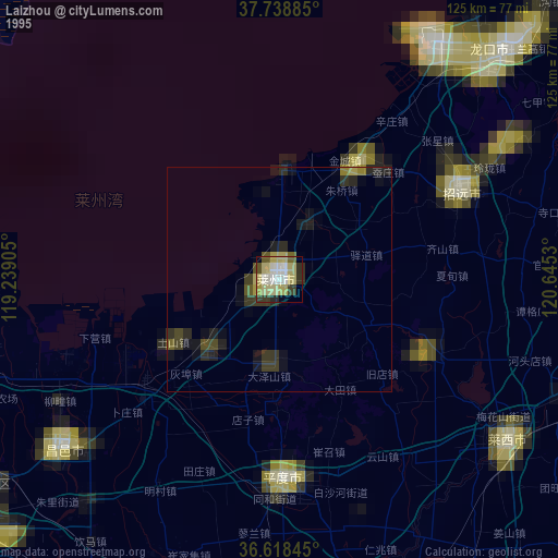
» NASA, Earths city lights 1995
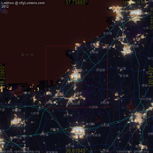
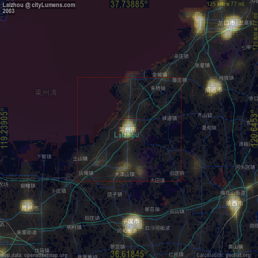
» NASA city lights 2003
» Earth at Night: Flat Maps 2012, 2016