Lianzhou night lights from space
Night Light of Lianzhou (Guangxi) from space (China) Src. Average luminocity for 10x10km area is 37.7178% and for 50x50km: 9.6521%.
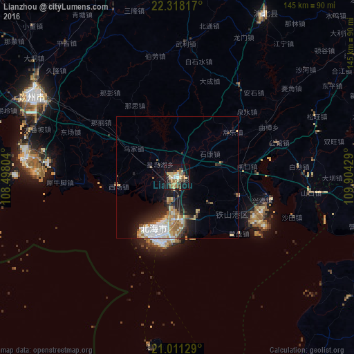

Analysis of Lianzhou night lights 2016
Square area 10x10 km:
 3.03%
3.03%90-99
3.03%80-89
11.17%70-79
5.68%60-69
7.2%50-59
3.79%40-49
6.82%30-39
4.17%20-29
3.6%10-19
38.45%0-9
13.07%Square area 50x50 km:
1.84%90-99
1.44%80-89
1.54%70-79
1.11%60-69
1.56%50-59
1.17%40-49
0.91%30-39
1.09%20-29
2.01%10-19
6.13%0-9
81.2%Clear (daylight) street map image can be seen on geolist.org.
Map coordinates:
22° 19' 5.4" North, 108° 29' 52.9" East
21° 39' 58.4" North, 109° 12' 4.2" East
21° 0' 40.6" North, 109° 54' 15.4" East
Some cities around Lianzhou sort by population:
• Zhanjiang
125.6 km =78 mi,  109°
109°
• Beihai
22.9 km =14.2 mi,  207°
207°
• Qinzhou
68.5 km =42.6 mi,  299°
299°
• Lianjiang
111.7 km =69.4 mi,  91°
91°
• Huazhou
142.9 km =88.8 mi, 91°
• Móng Cái, VN
128.6 km =79.9 mi,  262°
262°
• Pumiao
142.3 km =88.4 mi,  328°
328°
• Yashan
96.6 km =60 mi,  52°
52°
1803842 (p: 71,423)
Sources (retrieved 2019-11-25):
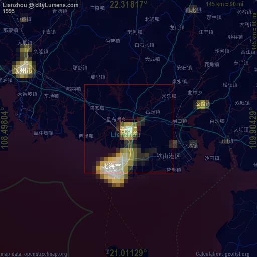
» NASA, Earths city lights 1995
» NASA city lights 2003
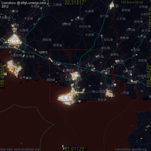
» Earth at Night: Flat Maps 2012, 2016