Lianjiang night lights from space
Night Light of Lianjiang (Guangdong) from space (China) Src. Average luminocity for 10x10km area is 50.0928% and for 50x50km: 7.9887%.
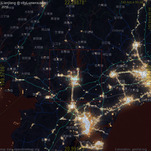
Analysis of Lianjiang night lights 2016
Square area 10x10 km:
 7.39%
7.39%90-99
6.63%80-89
9.28%70-79
9.66%60-69
8.33%50-59
5.68%40-49
6.06%30-39
9.28%20-29
17.05%10-19
19.51%0-9
1.14%Square area 50x50 km:
0.63%90-99
0.55%80-89
1.13%70-79
1.35%60-69
1.05%50-59
1.21%40-49
1.49%30-39
1.71%20-29
2.18%10-19
5.91%0-9
82.79%Clear (daylight) street map image can be seen on geolist.org.
Map coordinates:
22° 17' 55.6" North, 109° 34' 43" East
21° 38' 48.2" North, 110° 16' 54.2" East
20° 59' 30.2" North, 110° 59' 5.5" East
Some cities around Lianjiang sort by population:
• Zhongshan
47.2 km =29.3 mi,  140°
140°
• Zhanjiang
41.1 km =25.5 mi,  171°
171°
• Gaozhou
66.7 km =41.4 mi,  60°
60°
• Yulin
110.5 km =68.7 mi,  352°
352°
• Wuchuan
54.3 km =33.7 mi,  112°
112°
• Xinyi
106 km =65.9 mi,  40°
40°
• Huazhou
31.2 km =19.4 mi,  92°
92°
• Yashan
70.6 km =43.9 mi,  330°
330°
1804120 (p: 100,341)
Sources (retrieved 2019-11-25):
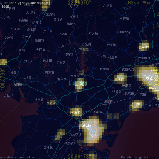
» NASA, Earths city lights 1995
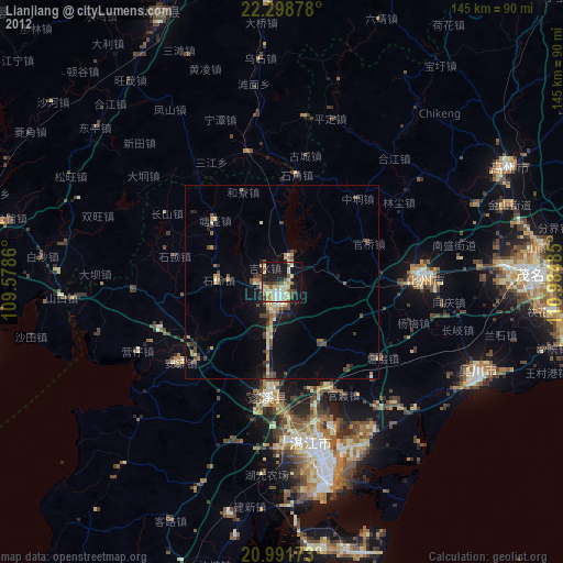
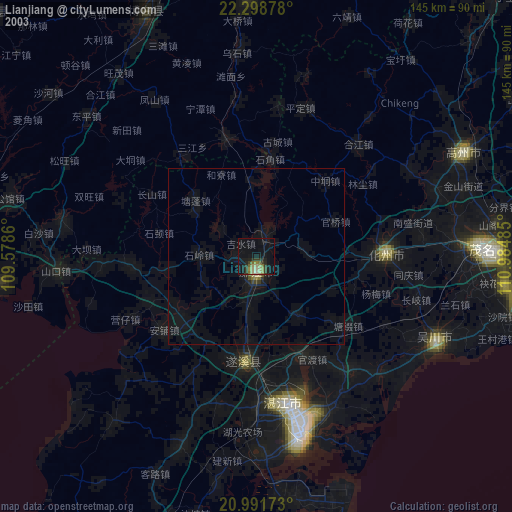
» NASA city lights 2003
» Earth at Night: Flat Maps 2012, 2016