Huotong night lights from space
Night Light of Huotong (Fujian) from space (China) Src. Average luminocity for 10x10km area is 0.6349% and for 50x50km: 6.131%.
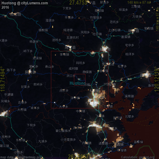
Analysis of Huotong night lights 2016
Square area 10x10 km:
 0%
0%90-99
0%80-89
0%70-79
0%60-69
0%50-59
0.79%40-49
0%30-39
0%20-29
0.79%10-19
0%0-9
98.41%Square area 50x50 km:
0.96%90-99
0.9%80-89
0.31%70-79
0.75%60-69
0.7%50-59
0.73%40-49
1.82%30-39
0.97%20-29
1.59%10-19
3.96%0-9
87.32%Clear (daylight) street map image can be seen on geolist.org.
Map coordinates:
27° 28' 31.1" North, 118° 42' 53.8" East
26° 50' 59" North, 119° 25' 5" East
26° 13' 14.4" North, 120° 7' 16.3" East
Some cities around Huotong sort by population:
• Fu’an
33.3 km =20.7 mi,  44°
44°
• Ningde
23.4 km =14.5 mi,  153°
153°
• Gufeng
43.7 km =27.2 mi,  278°
278°
• Xiabaishi
26.2 km =16.3 mi,  98°
98°
• Qidu
15.9 km =9.9 mi,  126°
126°
• Shanyang
29.1 km =18.1 mi,  226°
226°
• Zhangwan
23.1 km =14.4 mi, 131°
• Xibing
33.7 km =20.9 mi,  64°
64°
1806627 (p: 8,450)
Sources (retrieved 2019-11-25):
» Earth at Night: Flat Maps 2012, 2016