Genhe night lights from space
Night Light of Genhe (Inner Mongolia) from space (China) Src. Average luminocity for 10x10km area is 0.7647% and for 50x50km: 0.0584%.
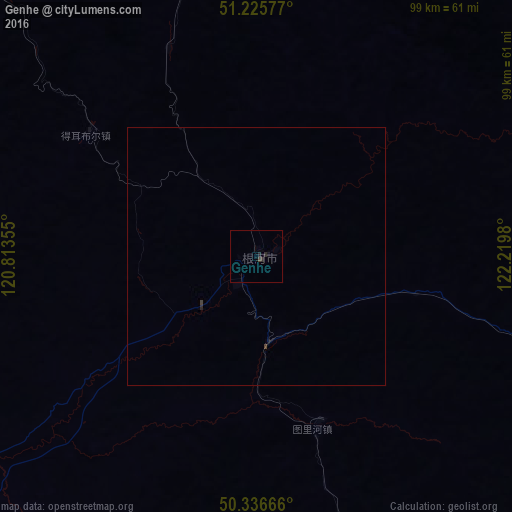


Analysis of Genhe night lights 2016
Square area 10x10 km:
 0%
0%90-99
0%80-89
0%70-79
0%60-69
0%50-59
0%40-49
0.14%30-39
0.56%20-29
1.54%10-19
0.56%0-9
97.2%Square area 50x50 km:
0%90-99
0%80-89
0%70-79
0%60-69
0%50-59
0%40-49
0.03%30-39
0.04%20-29
0.08%10-19
0.02%0-9
99.82%Clear (daylight) street map image can be seen on geolist.org.
Map coordinates:
51° 13' 32.8" North, 120° 48' 48.8" East
50° 46' 60" North, 121° 31' 0" East
50° 20' 12" North, 122° 13' 11.3" East
Some cities around Genhe sort by population:
• Hailar
218.7 km =135.9 mi,  216°
216°
• Jiagedaqi
188 km =116.8 mi,  102°
102°
• Yakeshi
175.9 km =109.3 mi,  198°
198°
• Oroqen Zizhiqi
156.9 km =97.5 mi, 98°
• Tahe
281.3 km =174.8 mi,  52°
52°
• Krasnokamensk, RU
257.9 km =160.3 mi,  252°
252°
• Priargunsk, RU
176.7 km =109.8 mi, 254°
• Sretensk, RU
309.7 km =192.4 mi,  301°
301°
2037252 (p: 73,631)
Sources (retrieved 2019-11-25):
» NASA, Earths city lights 1995
» NASA city lights 2003
» Earth at Night: Flat Maps 2012, 2016