Fuling night lights from space
Night Light of Fuling (Chongqing) from space (China) Src. Average luminocity for 10x10km area is 36.7024% and for 50x50km: 3.4525%.
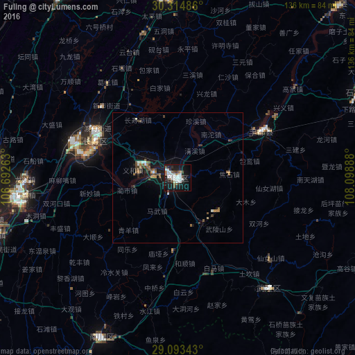
Analysis of Fuling night lights 2016
Square area 10x10 km:
 11.11%
90-99
10.32%80-89
0.79%70-79
0.2%60-69
2.58%50-59
3.57%40-49
4.17%30-39
3.17%20-29
6.94%10-19
37.9%0-9
19.25%Square area 50x50 km:
0.51%90-99
0.57%80-89
0.13%70-79
0.15%60-69
0.45%50-59
0.66%40-49
0.68%30-39
0.38%20-29
0.54%10-19
3.81%0-9
92.14%Clear (daylight) street map image can be seen on geolist.org.
Map coordinates:
30° 18' 53.5" North, 106° 41' 33.5" East
29° 42' 21.6" North, 107° 23' 44.7" East
29° 5' 36.3" North, 108° 5' 56" East
Some cities around Fuling sort by population:
• Chongqing
83 km =51.6 mi,  258°
258°
• Beibei
93.6 km =58.2 mi,  278°
278°
• Hechuan
113.6 km =70.6 mi,  286°
286°
• Yongchuan
150.5 km =93.5 mi,  254°
254°
• Yudong
92 km =57.2 mi, 247°
• Jijiang
120.1 km =74.6 mi, 247°
• Dongxi
126.9 km =78.9 mi,  214°
214°
• Ganshui
126.1 km =78.4 mi, 211°
1810979 (p: 166,507)
Sources (retrieved 2019-11-25):
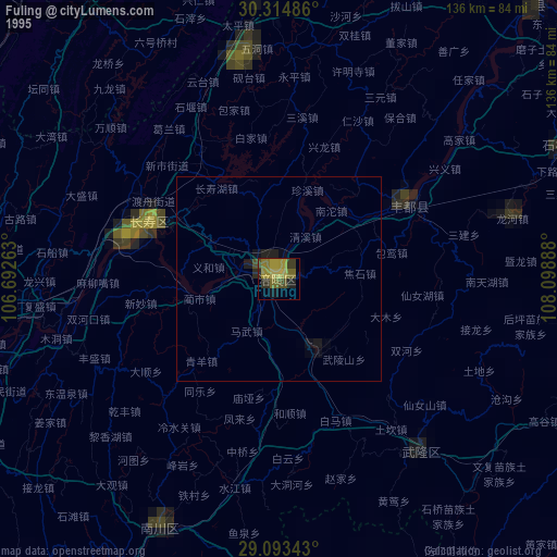
» NASA, Earths city lights 1995
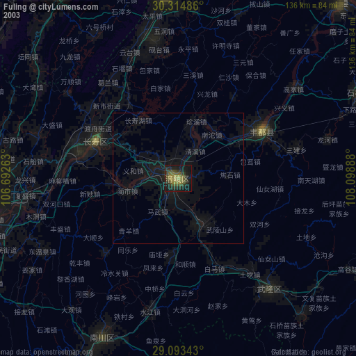
» NASA city lights 2003
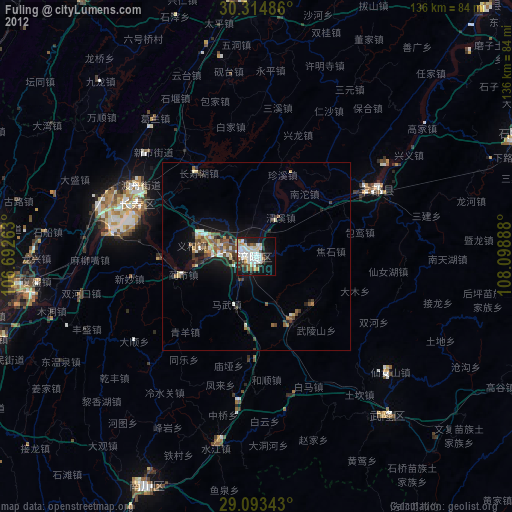
» Earth at Night: Flat Maps 2012, 2016