Huoqiu Chengguanzhen night lights from space
Night Light of Huoqiu Chengguanzhen (Anhui) from space (China) Src. Average luminocity for 10x10km area is 30.9267% and for 50x50km: 1.5786%.
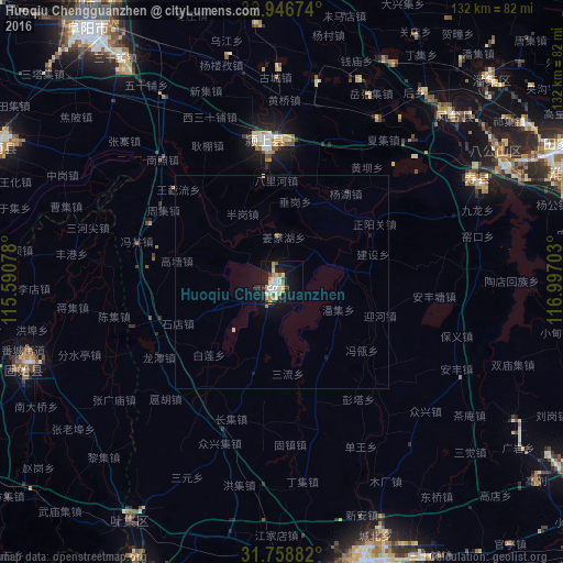
Analysis of Huoqiu Chengguanzhen night lights 2016
Square area 10x10 km:
 4.95%
4.95%90-99
7.51%80-89
4.4%70-79
3.48%60-69
5.68%50-59
2.2%40-49
1.1%30-39
1.1%20-29
2.2%10-19
33.52%0-9
33.88%Square area 50x50 km:
0.2%90-99
0.31%80-89
0.22%70-79
0.14%60-69
0.26%50-59
0.12%40-49
0.06%30-39
0.06%20-29
0.15%10-19
1.83%0-9
96.66%Clear (daylight) street map image can be seen on geolist.org.
Map coordinates:
32° 56' 48.3" North, 115° 35' 26.8" East
32° 21' 17" North, 116° 17' 38" East
31° 45' 31.8" North, 116° 59' 49.3" East
Some cities around Huoqiu Chengguanzhen sort by population:
• Hefei
107.8 km =67 mi,  120°
120°
• Huainan
72.5 km =45 mi,  65°
65°
• Fuyang
75.3 km =46.8 mi,  323°
323°
• Wuyang
40.5 km =25.2 mi,  186°
186°
• Mengcheng Chengguanzhen
104.5 km =64.9 mi,  14°
14°
• Huaiyuan Chengguanzhen
105.7 km =65.7 mi,  50°
50°
• Yingshang Chengguanzhen
30.6 km =19 mi,  355°
355°
• Datong
78 km =48.5 mi, 67°
1806651 (p: 61,904)
Sources (retrieved 2019-11-25):
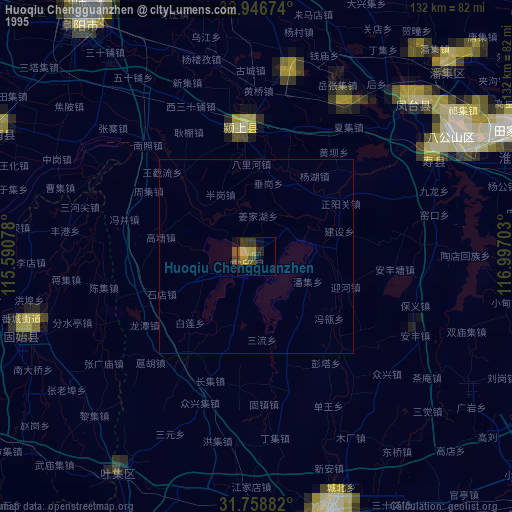
» NASA, Earths city lights 1995
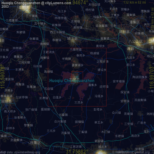
» NASA city lights 2003
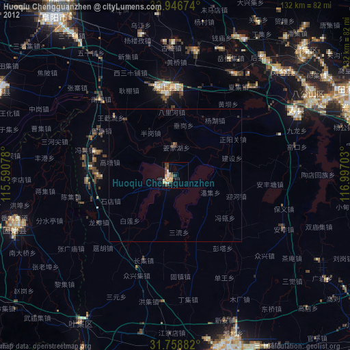
» Earth at Night: Flat Maps 2012, 2016