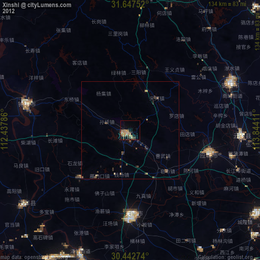
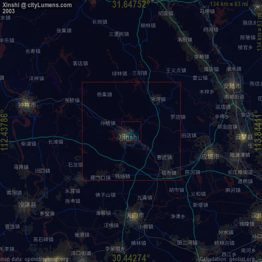
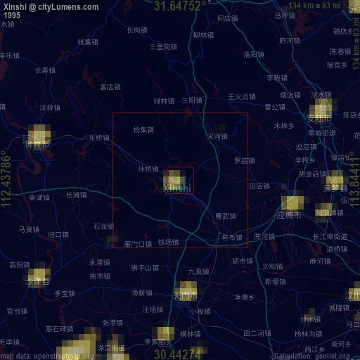
Xinshi night lights from space
Night Light of Xinshi (Hubei) from space (China) Src. Average luminocity for 10x10km area is 6.7949% and for 50x50km: 0.3634%.

Analysis of Xinshi night lights 2016
Square area 10x10 km:
 0%
0%90-99
0%80-89
0%70-79
0%60-69
0.18%50-59
3.48%40-49
4.58%30-39
3.85%20-29
2.2%10-19
1.1%0-9
84.62%Square area 50x50 km:
0%90-99
0%80-89
0%70-79
0%60-69
0.04%50-59
0.17%40-49
0.19%30-39
0.2%20-29
0.09%10-19
0.12%0-9
99.2%Clear (daylight) street map image can be seen on geolist.org.
Map coordinates:
31° 38' 51.1" North, 112° 26' 16.3" East
31° 2' 49.3" North, 113° 8' 27.5" East
30° 26' 33.9" North, 113° 50' 38.8" East
Some cities around Xinshi sort by population:
• Chengzhong
40.9 km =25.4 mi,  106°
106°
• Jingling
44.3 km =27.5 mi,  185°
185°
• Qianjiang
73.6 km =45.7 mi,  198°
198°
• Zhongxiang
54.7 km =34 mi,  283°
283°
• Duobao
60.1 km =37.3 mi,  225°
225°
• Hanchuan
74.3 km =46.2 mi,  126°
126°
• Anlu
56.2 km =34.9 mi,  65°
65°
• Yunmeng Chengguanzhen
59.5 km =37 mi,  88°
88°
1788638 (p: 98,422)
Sources (retrieved 2019-11-25):
» NASA, Earths city lights 1995
» NASA city lights 2003
» Earth at Night: Flat Maps 2012, 2016