Bafia night lights from space
Night Light of Bafia (Centre) from space (Cameroon) Src. Average luminocity for 10x10km area is 1.3884% and for 50x50km: 0.0578%.

Analysis of Bafia night lights 2016
Square area 10x10 km:
 0%
0%90-99
0%80-89
0%70-79
0%60-69
1.03%50-59
0.62%40-49
0%30-39
0%20-29
0%10-19
1.65%0-9
96.69%Square area 50x50 km:
0%90-99
0%80-89
0%70-79
0%60-69
0.04%50-59
0.03%40-49
0%30-39
0%20-29
0%10-19
0.07%0-9
99.86%Clear (daylight) street map image can be seen on geolist.org.
Map coordinates:
5° 27' 1.2" North, 10° 31' 48.8" East
4° 45' 0" North, 11° 13' 60" East
4° 2' 56.2" North, 11° 56' 11.3" East
Some cities around Bafia sort by population:
• Obala
72.9 km =45.3 mi,  152°
152°
• Mbandjok
81.1 km =50.4 mi,  114°
114°
• Tonga
63.8 km =39.6 mi,  292°
292°
• Ndikiniméki
44.4 km =27.6 mi,  272°
272°
• Ngambé
89.4 km =55.6 mi,  230°
230°
• Ntui
55.5 km =34.5 mi,  126°
126°
• Saa
48.9 km =30.4 mi, 150°
• Okola
83.2 km =51.7 mi,  168°
168°
2235194 (p: 69,270)
Sources (retrieved 2019-11-25):
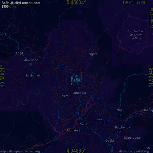
» NASA, Earths city lights 1995
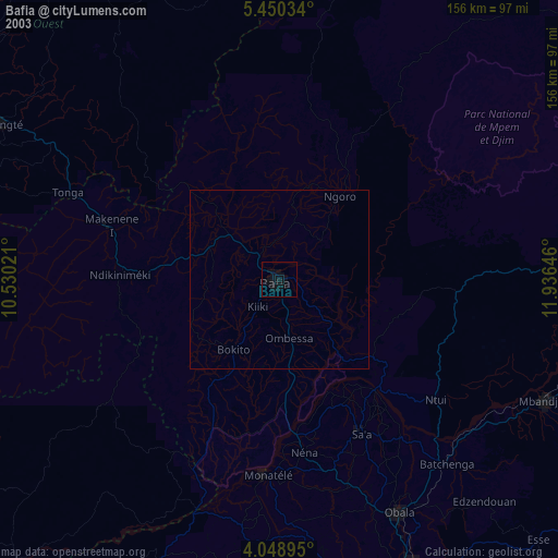
» NASA city lights 2003
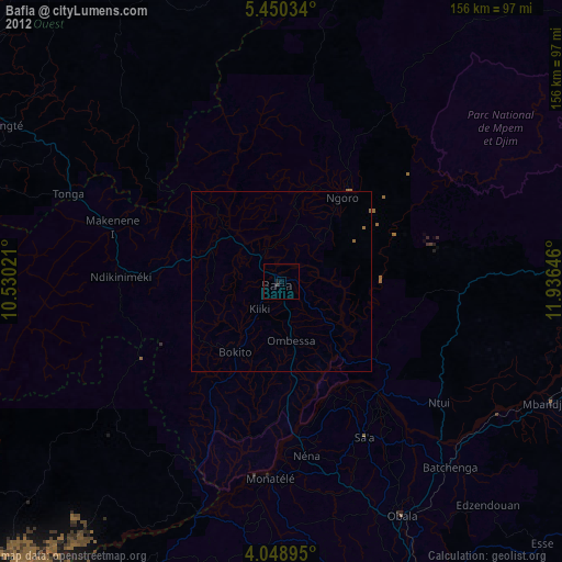
» Earth at Night: Flat Maps 2012, 2016