Mundemba night lights from space
Night Light of Mundemba (South-West) from space (Cameroon) Src. Average luminocity for 10x10km area is 0.1963% and for 50x50km: 0.4379%.
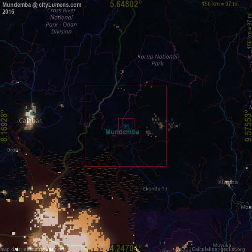
Analysis of Mundemba night lights 2016
Square area 10x10 km:
 0%
0%90-99
0%80-89
0%70-79
0%60-69
0%50-59
0%40-49
0%30-39
0%20-29
0%10-19
0.83%0-9
99.17%Square area 50x50 km:
0%90-99
0%80-89
0%70-79
0%60-69
0%50-59
0%40-49
0.09%30-39
0.44%20-29
0.53%10-19
0.35%0-9
98.59%Clear (daylight) street map image can be seen on geolist.org.
Map coordinates:
5° 38' 52.9" North, 8° 10' 9.4" East
4° 56' 52.4" North, 8° 52' 20.6" East
4° 14' 49.3" North, 9° 34' 31.9" East
Some cities around Mundemba sort by population:
• Calabar, NG
60.4 km =37.5 mi,  271°
271°
• Kumba
72.5 km =45 mi,  118°
118°
• Esuk Oron, NG
70.4 km =43.7 mi,  256°
256°
• Bamusso
54.5 km =33.9 mi,  176°
176°
• Ikang, NG
41.6 km =25.8 mi,  245°
245°
• Bekondo
57.9 km =36 mi, 120°
• Akankpa, NG
78.2 km =48.6 mi,  284°
284°
• Nguti
73.9 km =45.9 mi,  54°
54°
2225745 (p: 11,912)
Sources (retrieved 2019-11-25):
» Earth at Night: Flat Maps 2012, 2016