Kumba night lights from space
Night Light of Kumba (South-West) from space (Cameroon) Src. Average luminocity for 10x10km area is 5.0785% and for 50x50km: 0.2563%.
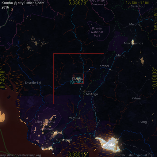
Analysis of Kumba night lights 2016
Square area 10x10 km:
 0%
0%90-99
0%80-89
0.21%70-79
1.45%60-69
0%50-59
0.21%40-49
4.34%30-39
2.07%20-29
0.83%10-19
1.65%0-9
89.26%Square area 50x50 km:
0%90-99
0%80-89
0.01%70-79
0.06%60-69
0.03%50-59
0.04%40-49
0.18%30-39
0.09%20-29
0.03%10-19
0.07%0-9
99.49%Clear (daylight) street map image can be seen on geolist.org.
Map coordinates:
5° 20' 12.3" North, 8° 44' 37.6" East
4° 38' 10.7" North, 9° 26' 48.8" East
3° 56' 6.5" North, 10° 9' 0.1" East
Some cities around Kumba sort by population:
• Loum
33.2 km =20.6 mi,  74°
74°
• Buea
58.3 km =36.2 mi,  202°
202°
• Mbanga
20 km =12.4 mi,  138°
138°
• Manjo
47.5 km =29.5 mi,  61°
61°
• Muyuka
38.7 km =24 mi,  186°
186°
• Penja
25.8 km =16 mi,  89°
89°
• Bekondo
14.8 km =9.2 mi,  290°
290°
• Ndom
20.1 km =12.5 mi, 140°
2229752 (p: 144,413)
Sources (retrieved 2019-11-25):
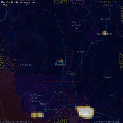
» NASA, Earths city lights 1995
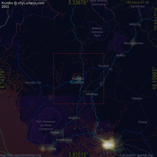
» NASA city lights 2003
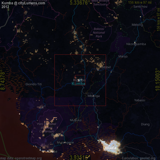
» Earth at Night: Flat Maps 2012, 2016