Loum night lights from space
Night Light of Loum (Littoral) from space (Cameroon) Src. Average luminocity for 10x10km area is 0.405% and for 50x50km: 0.1291%.
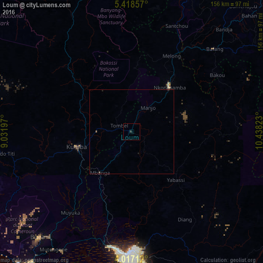
Analysis of Loum night lights 2016
Square area 10x10 km:
 0%
0%90-99
0%80-89
0%70-79
0%60-69
0%50-59
0%40-49
0%30-39
0.83%20-29
0%10-19
0%0-9
99.17%Square area 50x50 km:
0%90-99
0%80-89
0%70-79
0%60-69
0.03%50-59
0.03%40-49
0.02%30-39
0.03%20-29
0.12%10-19
0.07%0-9
99.69%Clear (daylight) street map image can be seen on geolist.org.
Map coordinates:
5° 25' 6.9" North, 9° 1' 55.1" East
4° 43' 5.5" North, 9° 44' 6.4" East
4° 1' 1.6" North, 10° 26' 17.6" East
Some cities around Loum sort by population:
• Kumba
33.2 km =20.6 mi,  254°
254°
• Nkongsamba
34.8 km =21.6 mi,  40°
40°
• Mbanga
30.4 km =18.9 mi,  217°
217°
• Manjo
16.9 km =10.5 mi,  34°
34°
• Penja
10.7 km =6.6 mi,  214°
214°
• Yabassi
38.9 km =24.2 mi,  138°
138°
• Bekondo
46 km =28.6 mi,  264°
264°
• Ndom
31.1 km =19.3 mi, 217°
2229152 (p: 177,429)
Sources (retrieved 2019-11-25):
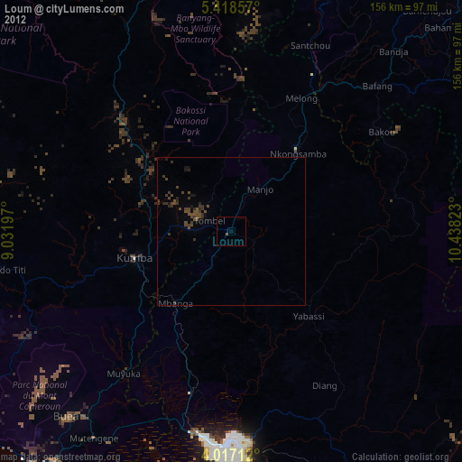
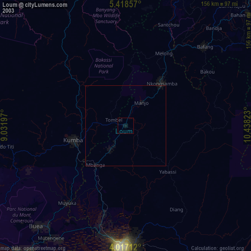
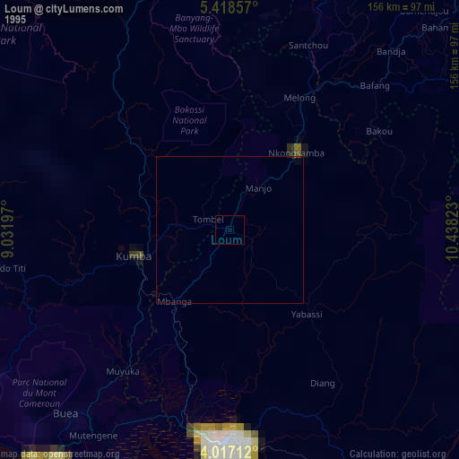
» NASA, Earths city lights 1995
» NASA city lights 2003
» Earth at Night: Flat Maps 2012, 2016