Penja night lights from space
Night Light of Penja (Littoral) from space (Cameroon) Src. Average luminocity for 10x10km area is 0.0021% and for 50x50km: 0.1249%.
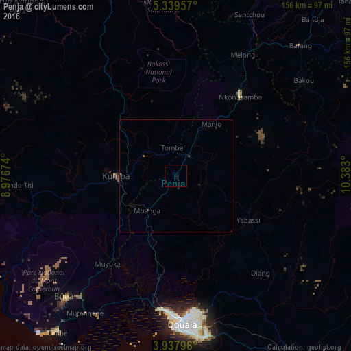
Analysis of Penja night lights 2016
Square area 10x10 km:
100  0%
0%
90-99 0%
80-89 0%
70-79 0%
60-69 0%
50-59 0%
40-49 0%
30-39 0%
20-29 0%
10-19 0%
0-9 100%
0%90-99
0%80-89
0%70-79
0%60-69
0%50-59
0%40-49
0%30-39
0%20-29
0%10-19
0%0-9
100%Square area 50x50 km:
100 0%
90-99 0%
80-89 0.01%
70-79 0.03%
60-69 0.03%
50-59 0.03%
40-49 0%
30-39 0.03%
20-29 0.07%
10-19 0.03%
0-9 99.76%
0%90-99
0%80-89
0.01%70-79
0.03%60-69
0.03%50-59
0.03%40-49
0%30-39
0.03%20-29
0.07%10-19
0.03%0-9
99.76%Clear (daylight) street map image can be seen on geolist.org.
Map coordinates:
5° 20' 22.5" North, 8° 58' 36.3" East
4° 38' 20.8" North, 9° 40' 47.5" East
3° 56' 16.7" North, 10° 22' 58.8" East
Some cities around Penja sort by population:
• Loum
10.7 km =6.6 mi,  34°
34°
• Kumba
25.8 km =16 mi,  269°
269°
• Nkongsamba
45.4 km =28.2 mi,  39°
39°
• Mbanga
19.7 km =12.2 mi,  219°
219°
• Manjo
27.6 km =17.1 mi, 34°
• Yabassi
37.8 km =23.5 mi,  122°
122°
• Bekondo
40 km =24.9 mi,  276°
276°
• Ndom
20.4 km =12.7 mi, 219°
2222623 (p: 28,406)
Sources (retrieved 2019-11-25):
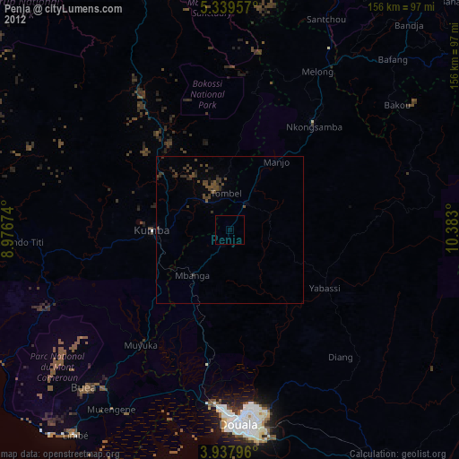
» Earth at Night: Flat Maps 2012, 2016