Babanki night lights from space
Night Light of Babanki (North-West) from space (Cameroon) Src. Average luminocity for 10x10km area is 0% and for 50x50km: 0.2607%.
Analysis of Babanki night lights 2016
Square area 10x10 km:
100  0%
0%
90-99 0%
80-89 0%
70-79 0%
60-69 0%
50-59 0%
40-49 0%
30-39 0%
20-29 0%
10-19 0%
0-9 100%
0%90-99
0%80-89
0%70-79
0%60-69
0%50-59
0%40-49
0%30-39
0%20-29
0%10-19
0%0-9
100%Square area 50x50 km:
100 0%
90-99 0%
80-89 0.05%
70-79 0.02%
60-69 0%
50-59 0.12%
40-49 0.14%
30-39 0.03%
20-29 0.1%
10-19 0.04%
0-9 99.5%
0%90-99
0%80-89
0.05%70-79
0.02%60-69
0%50-59
0.12%40-49
0.14%30-39
0.03%20-29
0.1%10-19
0.04%0-9
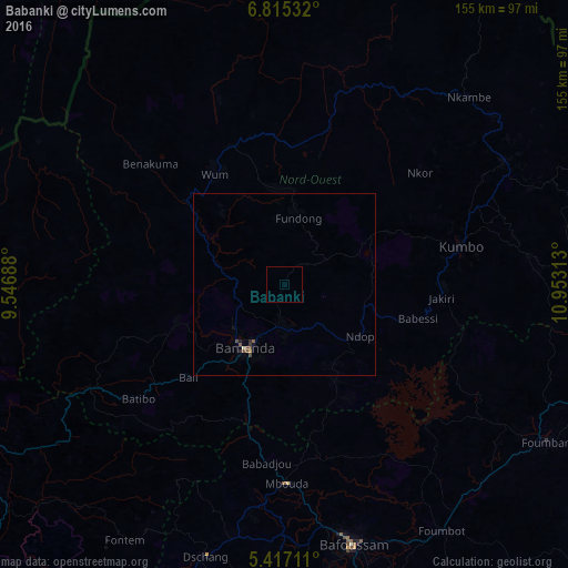
99.5%Clear (daylight) street map image can be seen on geolist.org.
Map coordinates:
6° 48' 55.2" North, 9° 32' 48.8" East
6° 7' 0" North, 10° 15' 0" East
5° 25' 1.6" North, 10° 57' 11.3" East
Some cities around Babanki sort by population:
• Bamenda
20.9 km =13 mi,  213°
213°
• Bali
36.7 km =22.8 mi,  225°
225°
• Wum
35.9 km =22.3 mi,  325°
325°
• Fundong
14.9 km =9.3 mi,  7°
7°
• Mbengwi
29.8 km =18.5 mi,  248°
248°
• Belo
1.9 km =1.2 mi,  0°
0°
• Njinikom
13.5 km =8.4 mi,  15°
15°
• Mme-Bafumen
24.2 km =15 mi,  355°
355°
2235293 (p: 9,851)
Sources (retrieved 2019-11-25):
» Earth at Night: Flat Maps 2012, 2016