Lo Prado night lights from space
Night Light of Lo Prado (Santiago Metropolitan) from space (Chile) Src. Average luminocity for 10x10km area is 97.7185% and for 50x50km: 49.7997%.
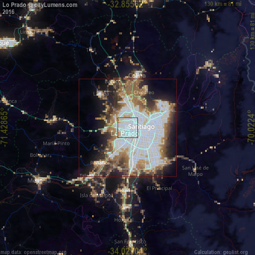
Analysis of Lo Prado night lights 2016
Square area 10x10 km:
 63.64%
90-99
28.85%80-89
3.85%70-79
3.5%60-69
0.17%50-59
0%40-49
0%30-39
0%20-29
0%10-19
0%0-9
0%Square area 50x50 km:
17.58%90-99
10.71%80-89
3.7%70-79
4.27%60-69
6.6%50-59
6.99%40-49
4.8%30-39
4.89%20-29
6.9%10-19
9.92%0-9
23.63%Clear (daylight) street map image can be seen on geolist.org.
Map coordinates:
32° 51' 20.2" South, 71° 25' 43.1" West
33° 26' 39.5" South, 70° 43' 31.9" West
34° 1' 44.4" South, 70° 1' 20.6" West
Some cities around Lo Prado sort by population:
• Santiago
7.3 km =4.5 mi,  101°
101°
• Puente Alto
23.2 km =14.4 mi,  143°
143°
• San Bernardo
16.6 km =10.3 mi,  171°
171°
• La Pintana
17.6 km =10.9 mi,  151°
151°
• Peñaflor
22.8 km =14.2 mi,  217°
217°
• Lampa
22.4 km =13.9 mi,  321°
321°
• Chicureo Abajo
19.1 km =11.9 mi,  20°
20°
• Villa Presidente Frei, Ñuñoa, Santiago, Chile
13.6 km =8.5 mi, 97°
7281020 (p: 104,316)
Sources (retrieved 2019-11-25):
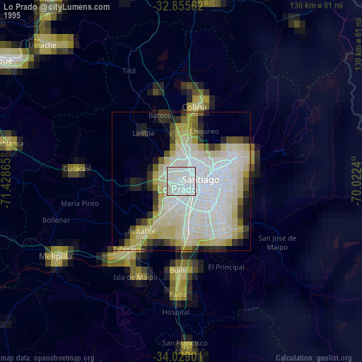
» NASA, Earths city lights 1995
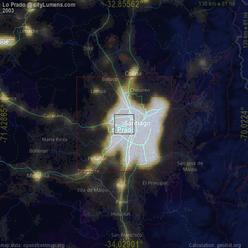
» NASA city lights 2003
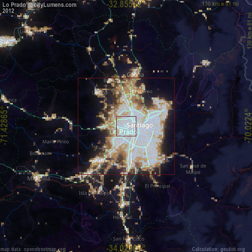
» Earth at Night: Flat Maps 2012, 2016